Showing posts with label california. Show all posts

Monday, September 4, 2023

Some Volcanoes in Northern California


(You should read about the more mature and seasoned volcanoes of Pennsylvania here.)

MOUNT LASSEN

Mt. Lassen National Park and volcanic far-northern California is a part of the country most people don't think about - even most people in the rest of California. California is big. It has a whole top half that people forget about. From the Golden Gate Bridge it's 340 miles to the Oregon border.


Lassen is in the Cascades, not the Sierras. The Sierras extend north to about Susanville (the border is the red line on the map - border zones of any kind are always interesting in their own right.) The Cascades begin there and go northward just barely into British Columbia, a product of the subduction of the Juan de Fuca plate (red arrow pointing at the submarine ridge marking the southern plate boundary.) Our first stop on this trip (the middle circle on the map) was therefore the the southernmost Cascade. I used to argue that the often-overlooked Sutter Buttes in California's Central Valley (the southernmost circle) were the southernmost Cascade, but among geologists (see here for Hausback et al's article) this seems to be more of a settled matter today so I must defer to the experts.[1]

The area has more geologic and cultural history than any such empty quarter has a right to. Lassen last erupted in 1916, and Ishi was the last uncontacted Native American, a story that's really worth reading, both fascinating and of course sad.


Recent eruptions aside, Mt. Lassen is a good volcano for families. I've literally lost count of the number of times I've been at the top, but it's also a hike, not a climb, and it's not a death march by mountain hiking standards. That said, it's 2.5 miles to the top of average 15% slope, starting at 8,500' ending in at 10,500', so it can be annoying.


As you can see above from my awesome mountaineering moves (I call this the reverse glissade) the top is cool and all (there's usually a lot of snow algae) and there are steam vents but the best part of the park is Bumpass Hell, a steaming, boiling, sulfurous, Io-like bubbling volcanic waste in the middle of the park, down the slope of the mountain.


(More here.) They close the trail to it for much of the year because of snow and ice hazards, because they don't want MORE people falling into the boiling acidic mud and cooking their leg (seriously. That's what happened to the eponymous Mr. Bumpass. If you thought "Bumpass Hell" wasn't family friendly, would you prefer "Cooked Human Leg Thermal Area"?) And the rangers REALLY get sick of people asking when the trail will open, so to prevent this they put the data from past years right on the website. I knew we would be going the first weekend of August. Through July, the trail remained closed. I was getting nervous. So I did what any family man would do, which is plug the opening-date data into a linear regression:

The black circle is where the regression predicted the trail would open this year, with a snow depth of 217 inches on April 1st.[2] The red circle is when we would be attempting the hike. I recognized that the rangers were probably not going there every day to stare at the snow, and it's probably at most once a week that they inspected and announced the trail opening (or not), introducing some noise into the data. So the graph did little to address my nerves. Thus, imagine my joy when I checked the National Park website the day before the trip, and it was open! The regression did its job, and it was only off by 4 days, within the noise introduced by weekly checks! Needless to say, I claim credit for not only predicting the future, but controlling both weather, and volcanoes. It's only fair.


BURNEY FALLS

I don't know how I missed these after 25 years living in this state. First, maybe not a necessary point for anyone else besides me: they are NOT McCloud Falls, with which I often confused them in days past. You can swim and wade in McCloud Falls if you can tolerate cold water, but Burney Falls is colder still, remaining at a toasty 42 to 48 degrees Fahrenheit. As we descended into the valley the temperature dropped by at least 20F in 0.3 miles. I was trying to figure out on the map what stream or river the falls were on, and the answer is - they are the beginning of a river. If you look at the top of the falls, you can see the water is coming directly out of the ground. Definitely the most unique and I think most esthetically pleasing falls I've ever seen.


Below: it's good to see that visitors to the park are so considerate that they risk a fine for vandalism by carving an underline into the sign, emphasizing the strength of the waterfall, so as to warn would-be swimmers of the danger.


THE LAVA BEDS

Lava Beds National Park is the greatest national park you've never heard of. Great for families, full of "actionable" geology, native history, and two of the less-proud chapters of American history. The Lava Beds and neighboring Tulelake really are smack up against the Oregon border. It's inland high desert, so it doesn't look much like what people expect the area would. (You want redwood trees? Go to the coast. Redwood National Park is a mere jaunt of 286 miles to the west.)

The Lava Tubes, Cinder Cones, and Ice Caves

There are hundreds of lava tubes in the park, caves formed by the movement of lava underground. Some of them are big - you could drive a truck through them. Others are small and you spend most of your time inside crouching. There are some developed for tourism, many of them within 1/4-1/2 mile of the park. By "developed" I mean, one of them has lights, and others just have a ladder leading down into the darkness. The undeveloped ones are holes in the ground you crawl into. I thought this would be a tough sell for a young kid, but after initial hesitation, this was by far the favorite part of the trip. Sentinel Cave in particular was pretty cool. There are lava flows and cinder cones throughout the park as well. You don't have to be a geologist to see them and understand what formed them.


Credit above to NPS, and below to Grant Sinclair at wanderfilledlife.com.


Above: the interior of a cave without light (Duh. Although, it really is an actual photo.) Below: with light (Sentinel Cave.)


(Above: a collapsed cave.) We also visited a cave outside the park that has year-round ice in it (the aptly named Jot Dean Ice Cave) but it wasn't quite as nifty as I remembered - no River Alf, no floating hair, and not a flashing eye to be found. Maybe because I forgot to bring any milk of paradise, or honeydew to dine on. You can see a couple tubes just peeking above the surface in the pictures. I've read that just in the Lava Beds park proper they discover on average six new caves per year, and there are doubtless many more to be discovered in the surrounding national forest.


Above image inside the cave from Steven Johnson's Flickr page. Below, landscape around the cave, and below that, a very ominous sign. "Other occupants"?


Any trip that doesn't have a (positive) surprise is suboptimal, and for this one, it was the fantastic dark-sky talk given by a ranger at the Lava Beds. I really can't recommend it enough. Learning about the stories behind the constellations (not just the Greek ones), and seeing shooting stars and Milky Way so thick against the sky you imagine you can reach up and feel its texture.

The History - A Stolen Home, and an Unwanted Home

There are petroglyphs carved into the sandstone of a cliff face, dating from when there was a lake there. Of course we don't know what they all mean; you can imagine people fishing a thousand years ago, sitting on tule mats and making some of the dots to count up their catch, others to tell a story or protect against disease or snakes. Some of them are definitely snakes. Amazing to think of how different we are from the people who made these signs, and wonder whether in the distant future someone will try to understand what we write today.


Credit above to Sierra Nevada Geotourism, and below to Wiki.


And we are different from the people who made these symbols, because the Modoc people were removed from their land at gunpoint. Their first encounter with white people was with Fremont's men, marching south, who mistook them for their traditional enemies, the Klamath, who they'd split off from six hundred years prior. (Imagine aliens landed on Earth in Russia, the Russian army shot at them, the aliens took off and landed again in the U.S. and attacked us to get revenge. That's what it was like.) Twenty-five years later the army came to remove the Modoc, the Modoc realized the land they had been marched off to was terrible, escaped and went back to the Lava Beds - where they used collapsed, un-roofed caves as a place for trench warfare. Two hundred men, women and children held off two thousand Union troops for six months, at one point making the mistake of thinking if they killed the Union chief (General Canby) that the Union would withdraw. The Modoc War only ended when the Union cut off their water supply, beginning the process of draining most of the lake that their answers fished on and made petroglyphs next to. (First photo below of one of the trenches in Captain Jack's Stronghold credit tripadvisor.)


Just outside the park is the monument to Tulelake internment camp, where almost 30,000 Japanese-Americans - those considered "troublemakers" among interned citizens - were sent during World War II. George Takei was here as a boy. I'm torn about this. It should be recognized and we should remember it and teach our kids about it so we don't make the same mistakes in the future. But somehow, once something like this is cleaned up and formally recognized, there's an artifical safety and sterility to the place, like it's behind glass (e.g., see the better-known Manzanar internment camp in the eastern Sierra.) The first time I saw it, I only knew where to look by looking it up ahead of time, and it was just piles of cinder blocks and rusting barbed wire, with no interpretive plaques to filter and protect us from reality. Image credit to discovernikkei.org.


MCCLOUD FALLS

They were cold this year. There was a bit of wading. Definitely no swimming. You want to see people being happy swimming, check out the video. (Narrator: they were not happy.)


MOUNT SHASTA

Well there it is man! Looming over most of the proceedings, and especially impressive when approached from the east via Route 89 (image credit newsfromnativecalifornia.com.) Please also enjoy this historical image of of this dashing and, dare I say, rougueish fellow conquering the mountain ca. 2003.


Footnotes

[1] You might understand the attraction to the idea of the Sutter Buttes as the southernmost Cascade - if you look back up at the map, there's a smaller ridge parallel to the southern boundary of the modern JDF plate, south of it, that comes ashore at Point Arenas and would pass immediately underneath the Buttes on the way to the northwest corner of Lake Tahoe. The Sutter Buttes are about 1.5 MA old, newer than the Cascades, but about the same age as the coastal volcanoes like Mt. Konocti at Clearlake, and the volcanics NW of Tahoe like Granite Chief and Red Star Ridge along the Western States Trail.)

[2] It's actually kind of amazing there were only 217" there on April 1, given California's historic rain and snow year - although the further north you went, the less remarkable it got. People in Washington State we visited were surprised to hear how wet it had been.

Sunday, May 14, 2023

Colors of Marin Headlands Wildflowers in Sunlight and Shade


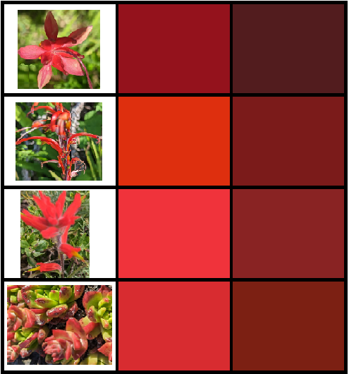
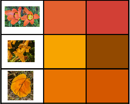
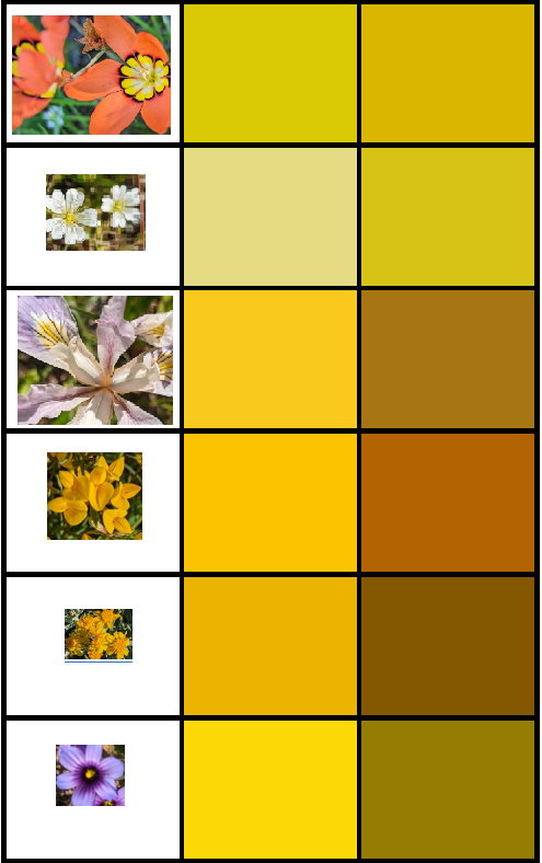
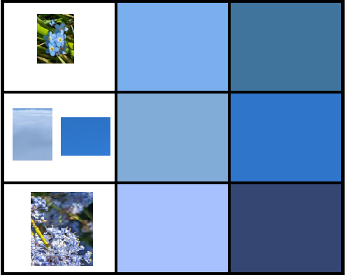
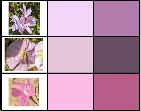
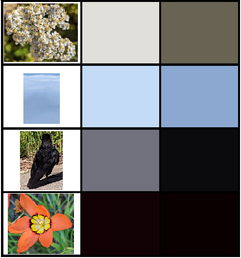
I took a lot of pictures of wildflowers in the Marin Headlands today, then used the good old MS-Paint color picker (eyedropper icon) to pull out a pure color from the petal where it's illuminated by the sun, and a where it's shaded.

I made this because
  1. I am fascinated by attempts to distill things down to their essence.
  2. It's amazing how we think of an object as a single color, and yet objectively it is multiple colors as the light is incident on our retina because of shading, and we still understand it as a single continuous object.
  3. Wildflowers are pretty as hell bro.
I'm very much an amateur so if any of these are misidentified, I appreciate your correction in the comments. Also if you find the colors interesting please take them for your own purposes.

This is the full "spectrum" of colors I sampled shrunk down to see all at once.


The first three reds are Indian paintbrush species. There are 20+ species of Indian paintbrush and their ranges overlap significantly, so if you can distinguish and identify the paintbrush species, thanks in advance for doing so in the comments. The last one is live forever, an endangered Dudleya succulent species whose red leaftips are much more brilliant when "purified" by this sampling method. Protect our coastal succulents - they're targets of criminals that are digging them up on masse and destroying them (seriously, read that, it's unbelievable.) Also saw some Dudleya on the trail, which has red-tipped leaves (impressively red when directly sampled.)


The top orange one is a harlequin flower (sparaxis), a South African invasive, then sticky monkey flower, and finally you damn well better know our state flower.


Respectively, again the (center of the) harlequin flower, field chickweed, the yellow part of the Ferdinand iris petal, French broom (invasive - die), goldenfields, and blue-eyed grass (the second stupidest flower name in this post.) Centers of flowers are often yellow, I wonder why. Then again, we're probably missing the important part of the story - flowers are "designed" for bees who can see into the UV.


A nice green leaf, and then the stem of the goldenfields (a more minty green like sage) and the green part of the liver forever - again, amazingly yellower than it seems when seen in situ.


Hound's tongue (one of my favorite despite having the stupidest name ever - maybe they're hallucinogenic when ingested or something), then the sky just above the fog and then immediately overhead, and finallly ceanothus.


Lupine (my favorite, which smelled amazing in this warm day - I used to say they smell like mothballs, but they're actually awesome and much less purple and more blue when purified), blue eyed grass, and again Ferdinand's iris.


Pink is not a real color on the spectrum, but we'll pretend. Checkerbloom (I think), white bindweed, and checkerbloom again.


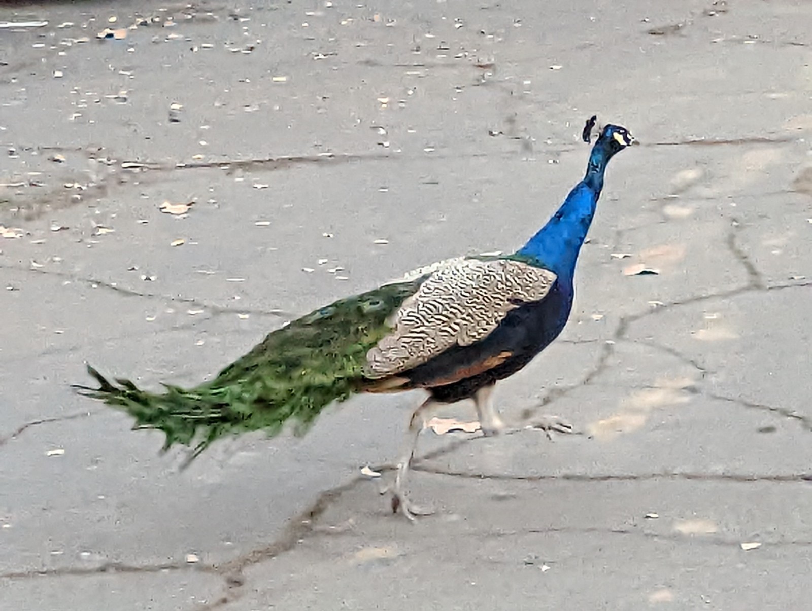
For white, yarrow, then the sky both in the fog and above it (in situ, seems gray, not blue). Then for black, I was wondering where I would get it from, and had resigned myself to just using the tiny black rim of the harlequin flower, but then as if reading my mind this fellow helpfully landed right in front of me near the trailhead and started cooperatively strutting back and forth. I happen to be fascinated with ravens and the Pacific Northwest art tradition around them.


FIN


Saturday, December 3, 2022

Los Angeles, November 2022


I'm always amazed and grateful when I talk to people who actually read my blog - and of course you tell me you've noticed the decrease in frequency. Partly that's family- and career-driven, and COVID certainly hasn't done anything to increase my traveling. And in 2019 I wrote that I was just going to be a Californian for a while. I had no idea at the time how much I meant it!


FOOD

Venezuelan food in Little Ethiopia - previously unbeknownst to me, there is a little Ethiopia on Fairfax not far from the tar pits. A neighborhood never smelled so good about 6pm. That said, I went to Flavors From Afar, which has an interesting model where they have guest chefs who are refugees from various parts of the world. When I was there, it was someone from Venezuela. I'd never had Venezuelan. The shredded beef, goat, and cheese bread were pretty tasty. Not surprisingly, Caribbean, in my experience reminded me of Puerto Rican food.

As a rule, when I'm in LA, I will not leave without hitting Thai Town (~5100 Hollywood Boulevard.) Pictured below: octopus from Crispy Pork Gang.


Pictured below: Chengdu Taste in Alhambra. Pictured from left: fish, chicken, and gizzard.


Din Tai Fung - the one in Glendale. Din Tai Fung has developed the Mercedes model of international marketing. That is to say, at home in Taiwan, they're a solid but not fancy noodle house chain. In the US they are a high-decor type of place with earnest and good-looking young servers (the one in UTC in San Diego is similar), and prices to match. But the noodles are still quite good. I came back to life in this place after getting unexpectedly rocked by Mt. Wilson.


CULTURE

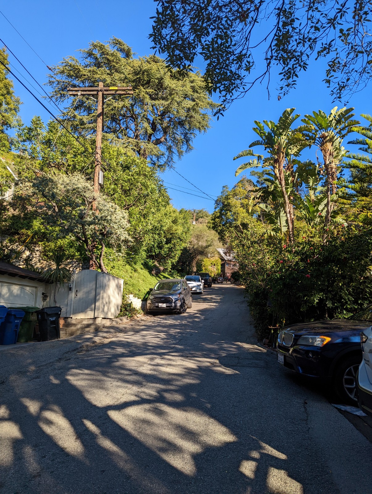
Laurel Canyon - I'd never spent any time in this area before, and it's pretty neat. Reminds me a lot of the Berkeley Hills. If you don't know the history (which I didn't until recently) it's an area well-known as the place where a lot of folk and rock figures from the 60s and 70s lived - Joni Mitchell (Ladies of the Canyon), Jim Morrison, Mama Cass to name a few. Jared Leto lives in a converted radar station at the top of the ridge not far from Mulholland because of course he does.


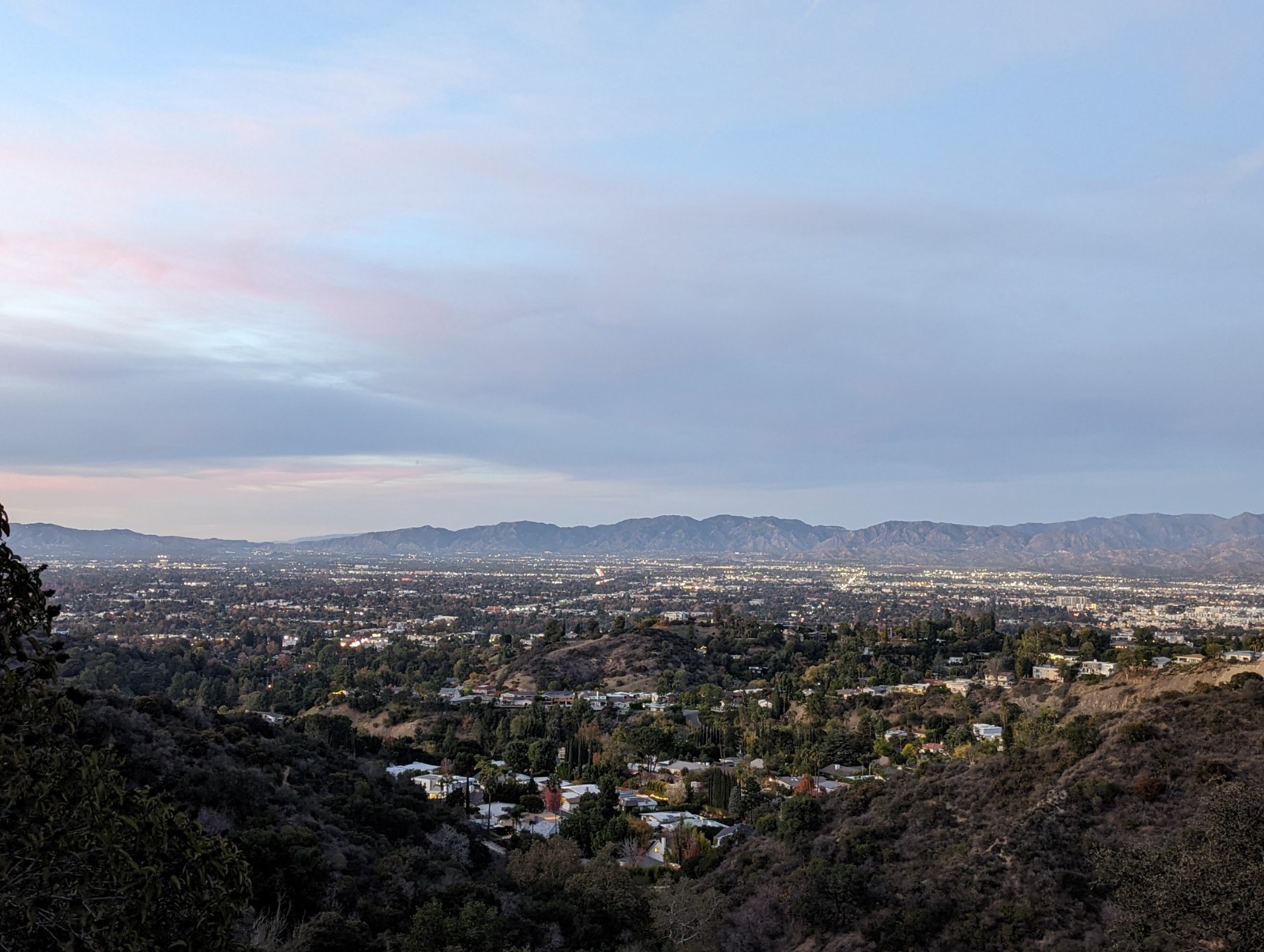
Above: the San Fernando Valley from an overlook along Mulholland.


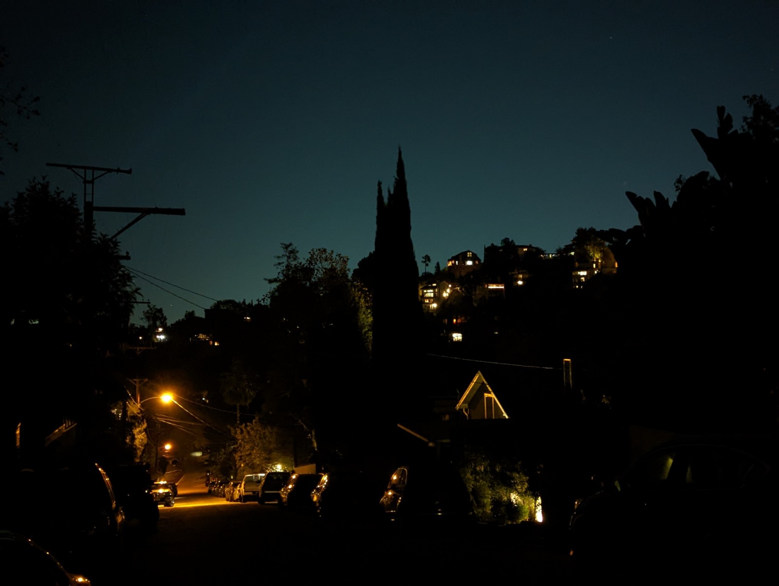
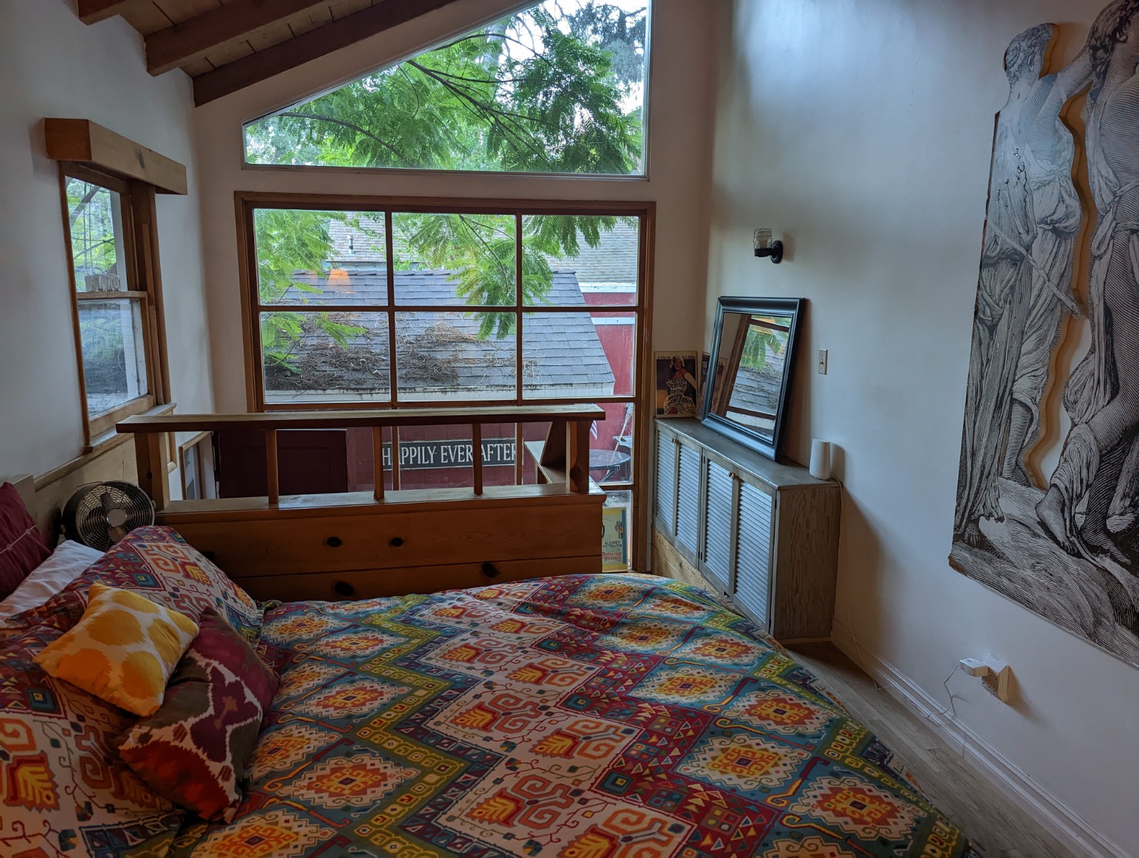
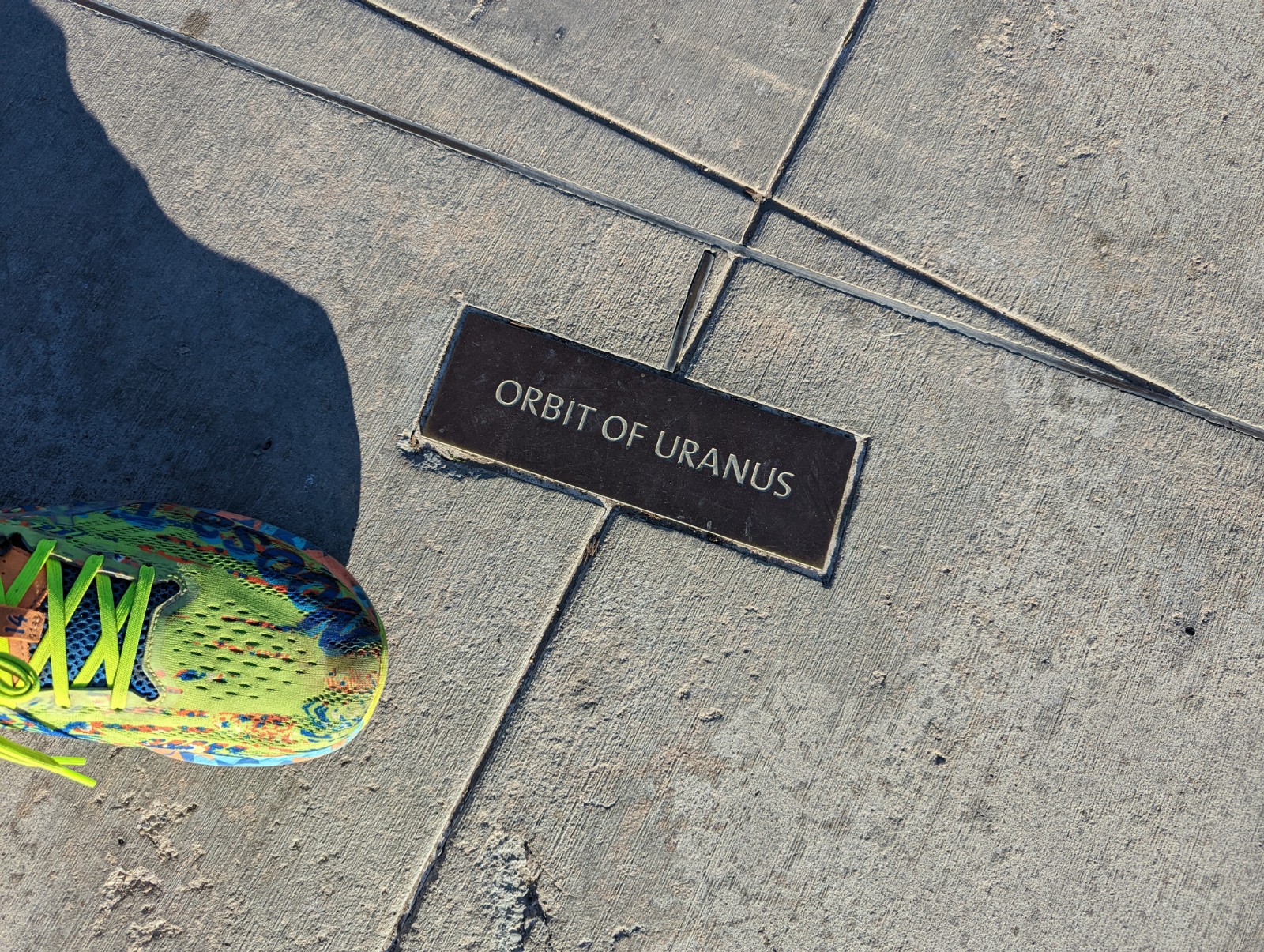
Above: Laurel Canyon during the day, at night, and from inside our Airbnb. Below, Griffith Observatory, with important astronomical markers to scale.


Griffith Observatory - sadly the planetarium broke while we were waiting in line for it, but the museum and views are worth it alone. Also, not surprisingly, it's been used as a backdrop quite often (Terminator, Rebel Without a Cause, Metallica, and Star Trek Voyager.) Don't forget in Griffith Park you can also hike up to the Hollywood Sign or the Bat Cave.) Not an unreasonable hike from/to Thai Town.

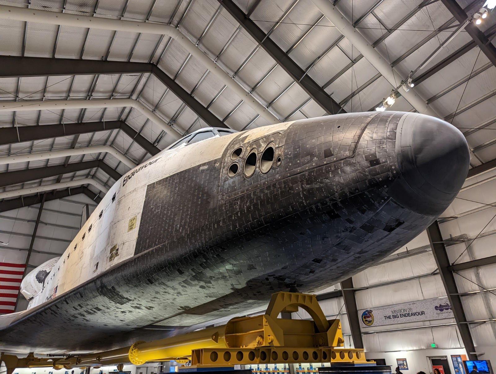
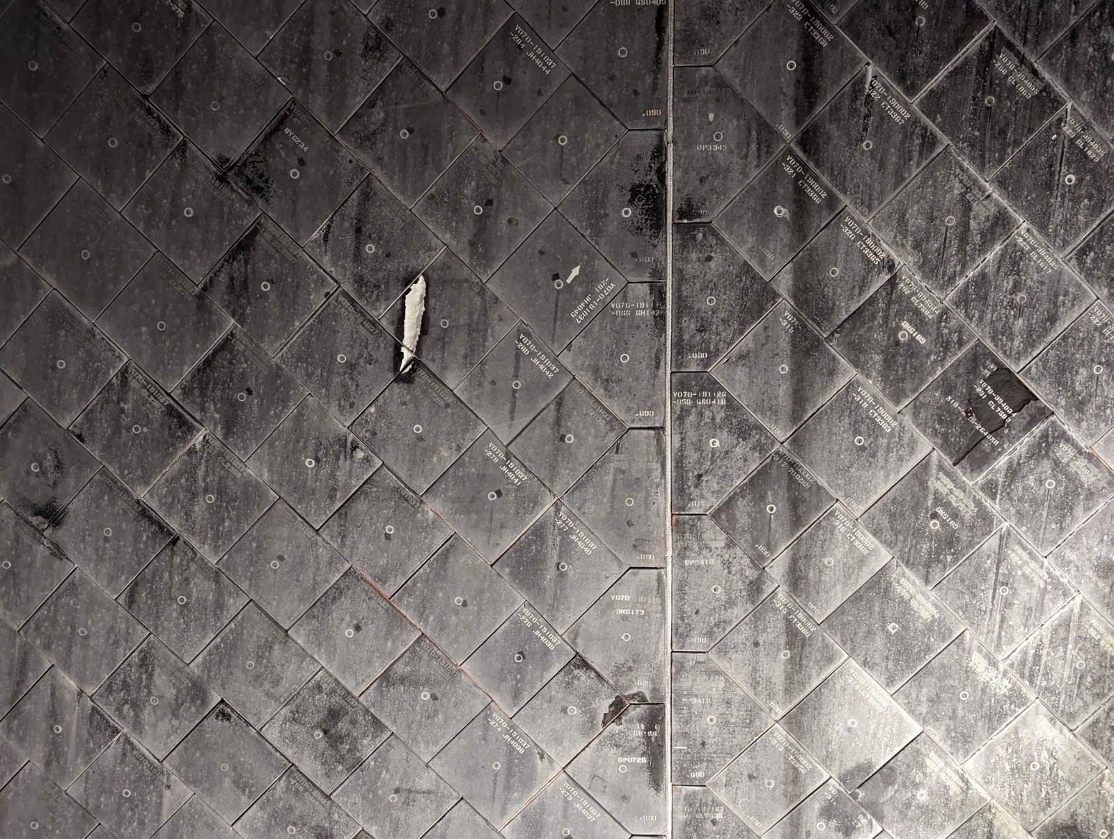
California Science Center and Natural History Museum right next to USC, who I still have a problem with. They have a Space Shuttle but that's certainly not the only attraction. (I like to keep track of positive surprises when I travel and the positive surprise for me here was Natural History's mineral room.) The Science Center has a pay-by-exhibit model (like a small amusement park) but most are free, including the shuttle. Detail on the shuttle includes tiles, and reaction control system thruster ports.


Hollywood Boulevard. Of course. I think maybe I went there once with my parents when I was about 15 and found it underwhelming. I can't say I find it that much more exciting now - it has a claustrophobic, trying too hard to be Times Square vibe to it - but you have to take your family there once. Instead of Hollywood, here are pictures of the inspiration for the name, actual California holly (toyon), taken a few days later in Novato, Norcal. (Merry early Christmas.)


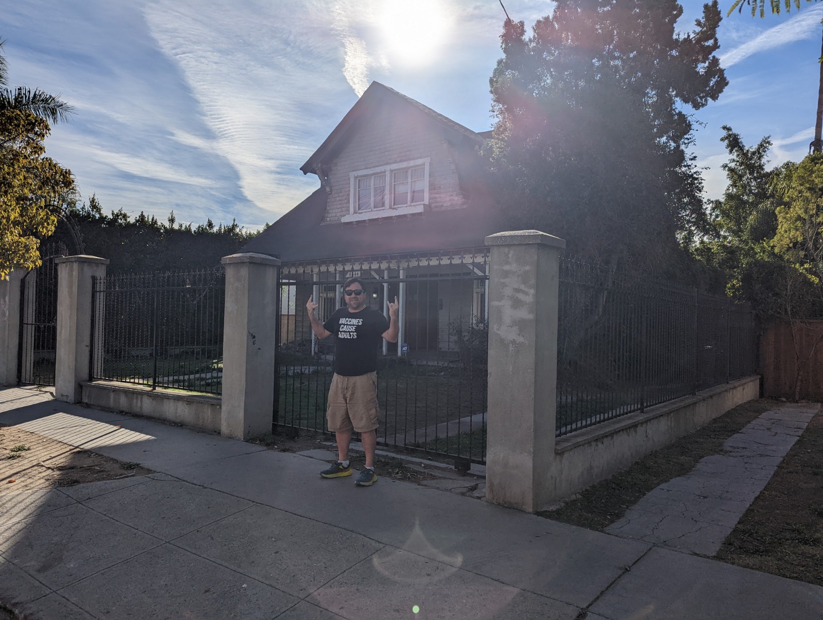
Danzing's Evil Bricks. Do you know who Glenn Danzig is? Do you know he had evil bricks? (Really, click on that.) We paid a visit to his house (or maybe he moved, I don't know) and to be honest I actually got nervous. Related, Monty's in Santa Monica has a dog as its mascot and the style of the logo may seem familiar (see below.)


OUTDOORS

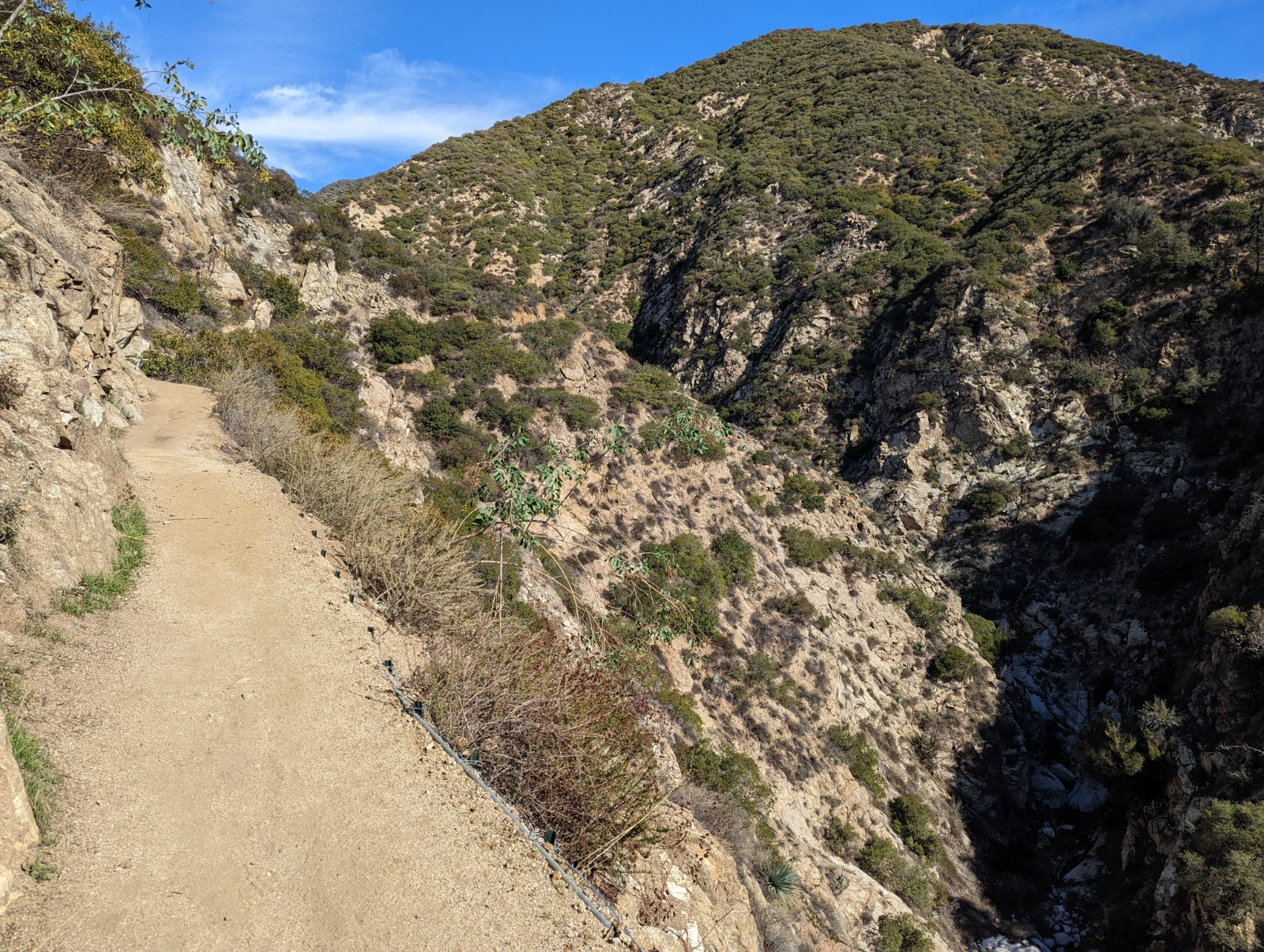
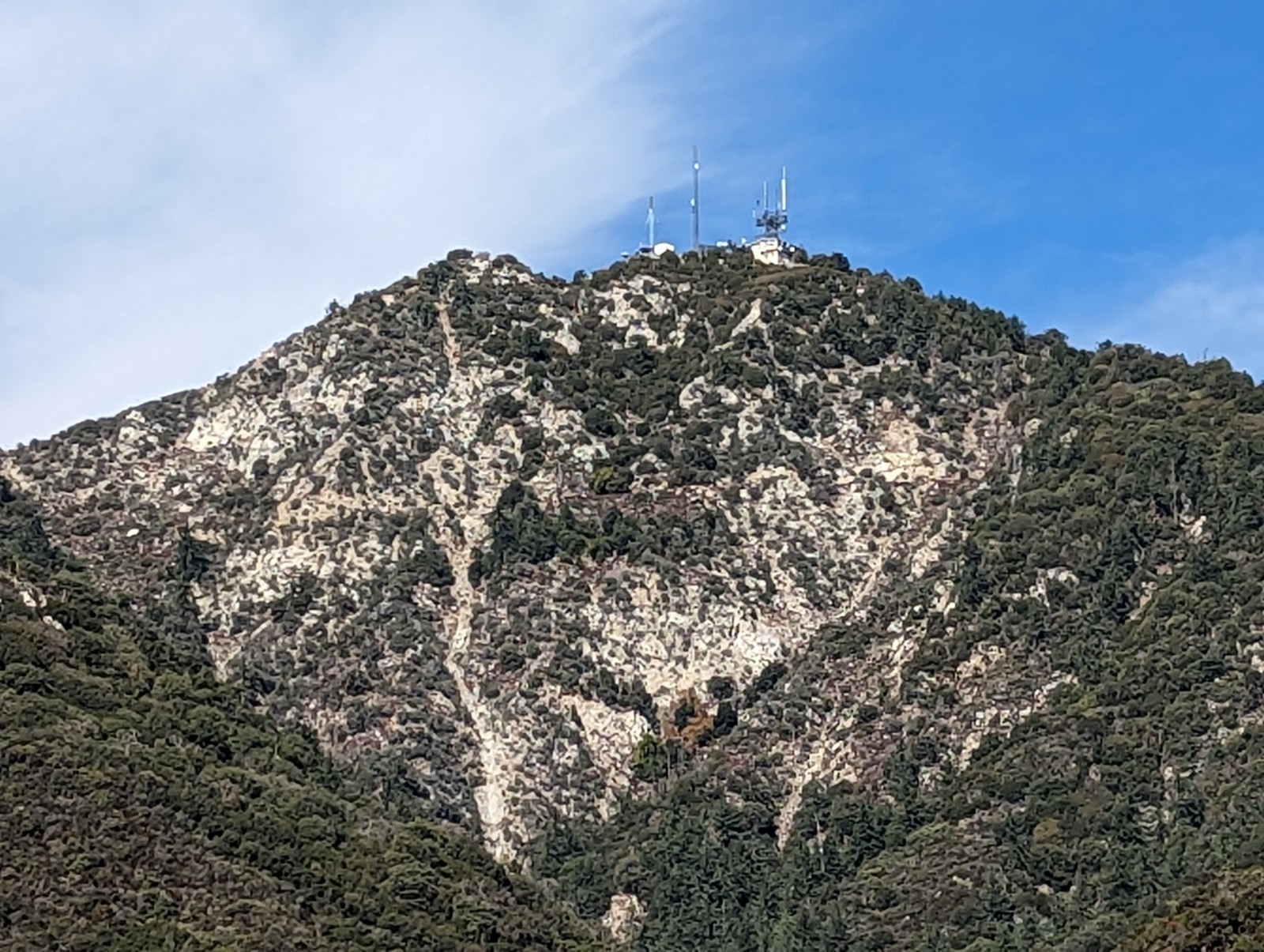
Hiking up Mt. Wilson to the observatory. I was getting over a respiratory illness (not COVID) and this mere 7.5 mile, 4500' climb unexpectedly sucked the life out of me. Beautiful climb next to the Santa Anita trail complex, in the western greener end of the San Gabriels. My bizarre obscure association with the roads winding through Angeles National Forest is now the Name of the Game episode L.A. 2017 (made in 1971), one of Steven Spielberg's first projects, where he imagines a future Los Angeles moved underground due to pollution and policed by psychiatrists with intramuscular sedative guns.


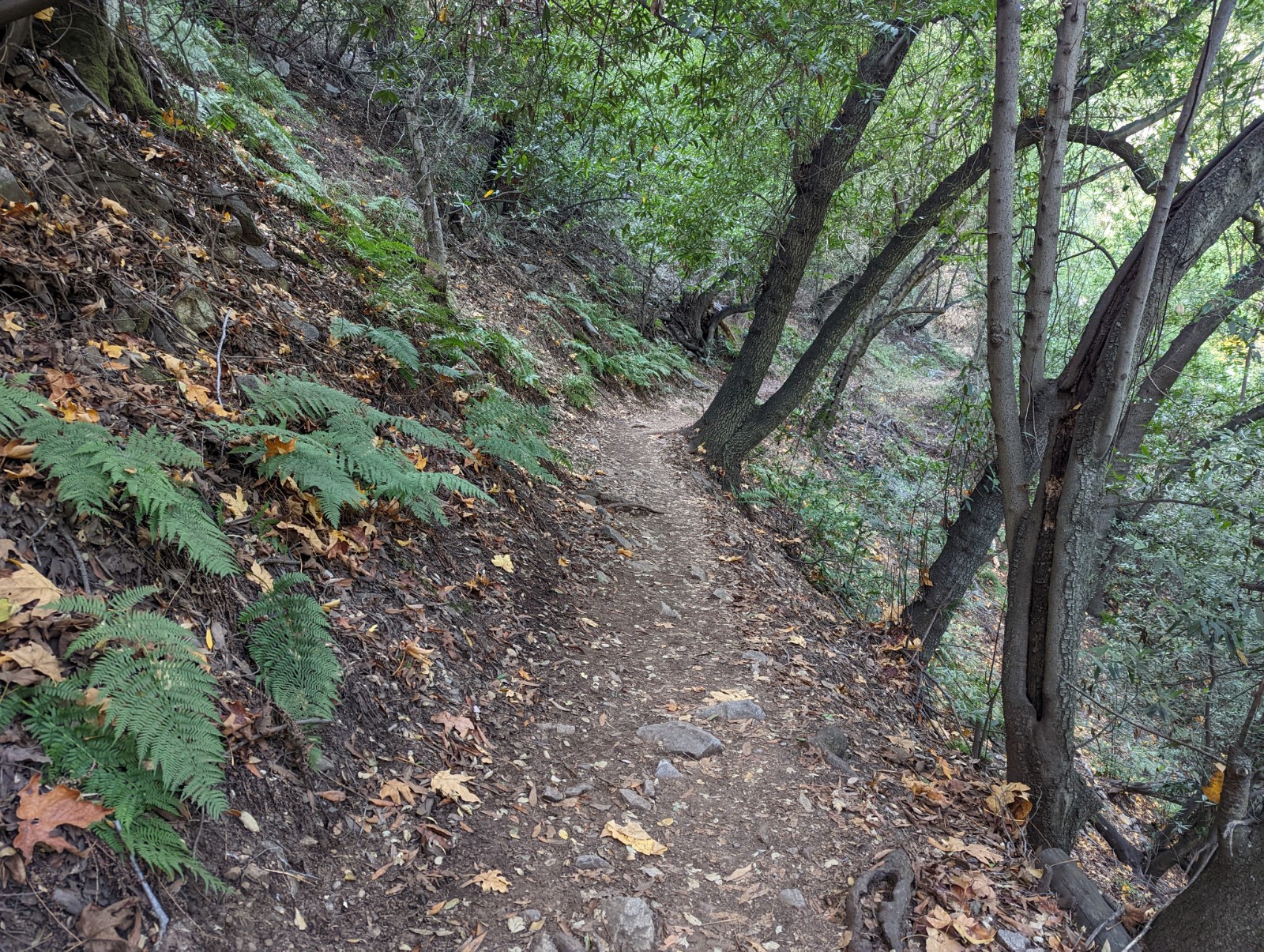
I'm always surprised by how "ferny" the western end of this range can be. It just seems inappropriate for them to be in such close proximity to yuccas.


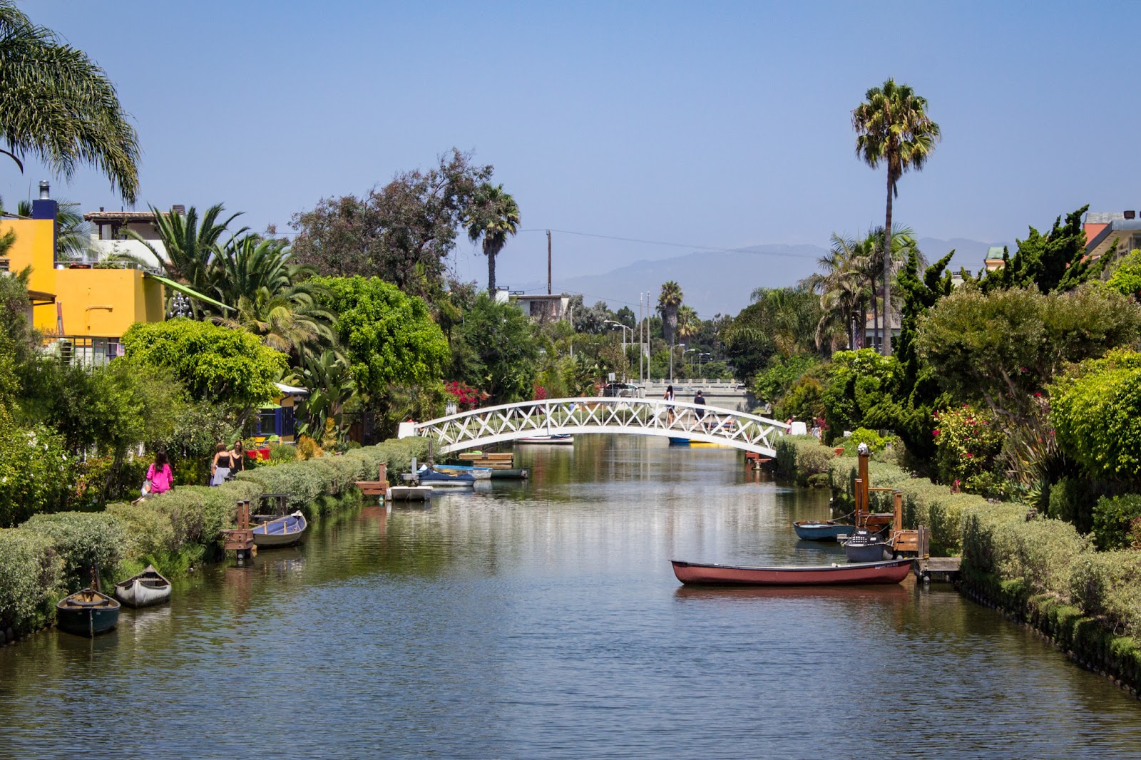
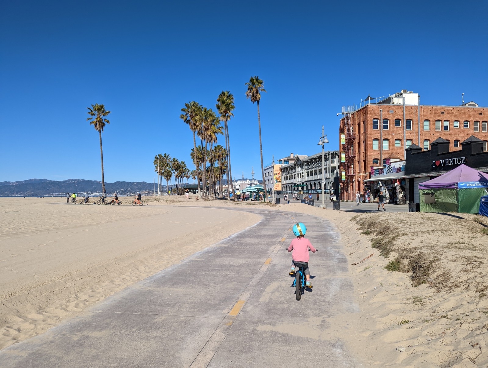
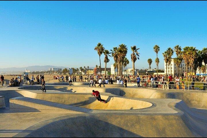
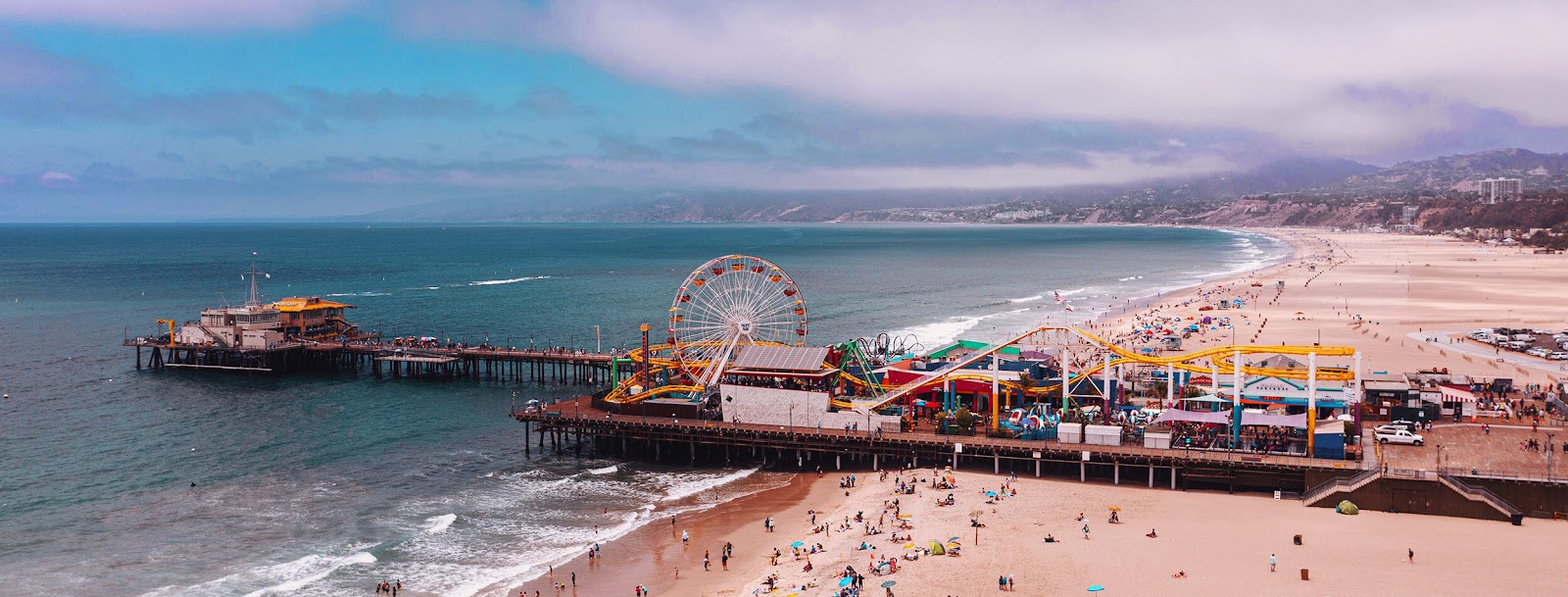
We also rode from the Venice canals along the boardwalk past Muscle Beach and the skate park to Santa Monica pier.


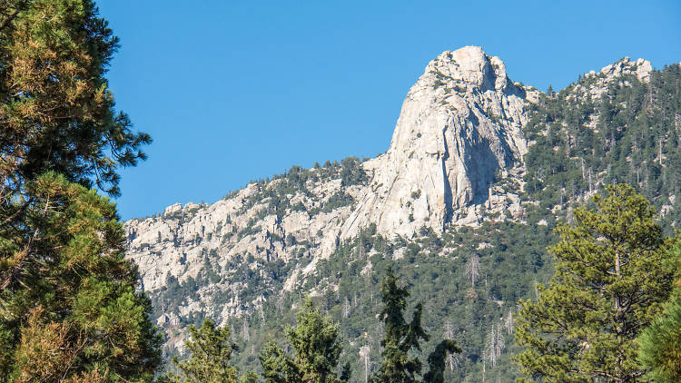
Idyllwild up on San Jacinto. San Jacinto is part of the SoCal mountain trifecta which I bagged starting from Humbert Park in 2012, though the Cactus to Clouds route is more interesting for sure. The mayor is a dog, Maxwell III. At lunch at a brewpub twice I overheard from the hostess speaking to a group of customers "Unfortunately we're at our dog capacity so we can't seat you right now.") A group in the late 60s manufactured LSD there and then dropped it out of a plane onto Laguna Beach. It's just that kind of place. As for us, we just met up with a nice family and had ice cream and played with Aussie shepherds, so you can do that too. Below: two photos of Idyllwild I found online, forgot where, if they're yours comment and I will gladly credit you.


ERUDITE CULTURAL COMMENTARY

  • People like to talk about how LA is a homeless hellscape. Yes we saw a few tents and homeless people. It was maybe a little worse than the average U.S. city. The worst thing I saw was a breadline on the boardwalk in Venice Beach on a Sunday morning with about 20 people in it. Two of them said hello and were polite and just regular folks.
  • I made a point of driving by Paramount's Bronson Gate (reminded by having seen the tank sticking up looking down from Griffith Park.) I wonder, why do some studios have an amusement park and others don't? Is it just real estate? (On review sites people seem to complain more about the lameness of Paramount's tour.)
  • Downtown Glendale is getting better and better and I like it for many reasons. And it's going to sound cringey but I'm going to say it. Walking around, I saw a bunch of young people with genes hailing from every corner of the planet, either busting their asses working hard, enjoying life, or both. This is the American experiment working spectacularly well. When these kids run across some aggrieved Republican crying about America's supposed decline and yelling about taking it back and making it great again, I can only imagine they just think to themselves "What are these people even talking about?"
  • What happened to the prominence of the defense industry in SoCal? The pseudodystopia of Kim Stanley Robinson's Gold Coast is not what happened.
  • Like many northeasterners who migrated to California, I imprinted on the part of CA I arrived in (Norcal) and absorbed the chip on my shoulder about Socal from the people in the Bay Area. But it really is a one-sided rivalry, and after living in Socal for a few years I got over it, and I really like visiting LA. And, amazingly, a city based on the entertainment industry DOES have a lot of good-looking people! Shocker! Still, somehow LA always gives me a feeling of desperation coursing underneath the smiles (that I'm certainly not the first to observe) which is at the same time somehow also freeing. I cannot recommend this essay enough.


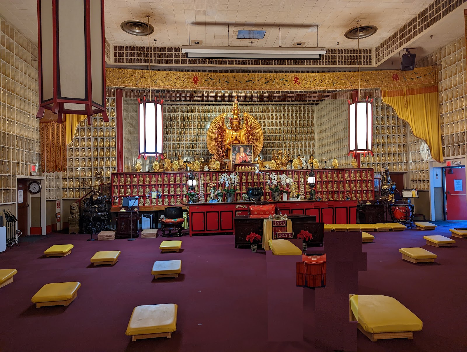
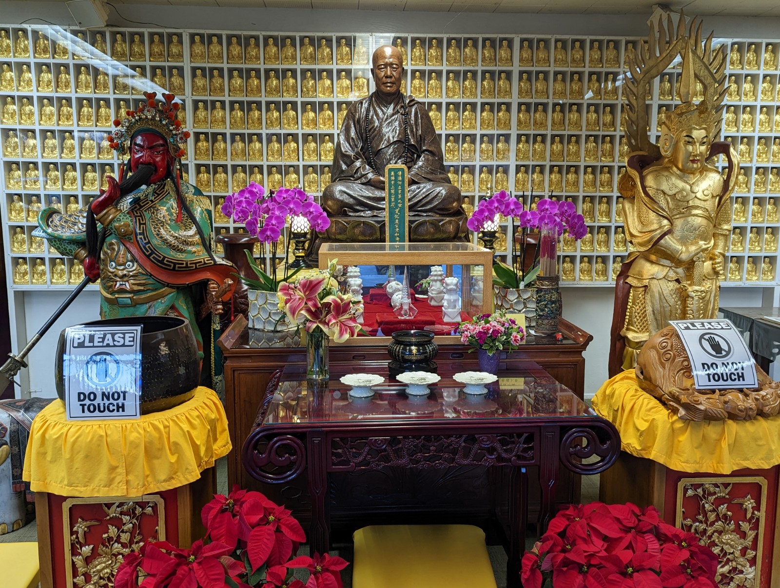
BONUS: CITY OF THE TEN THOUSAND BUDDHAS, UKIAH, CA (learn more here)


FIN