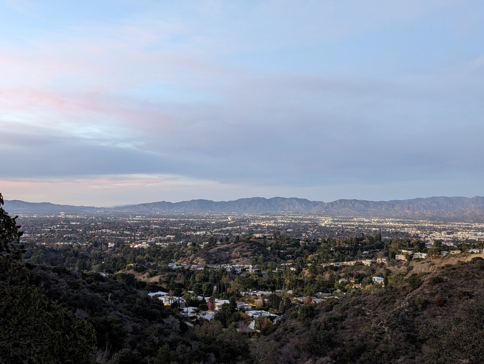
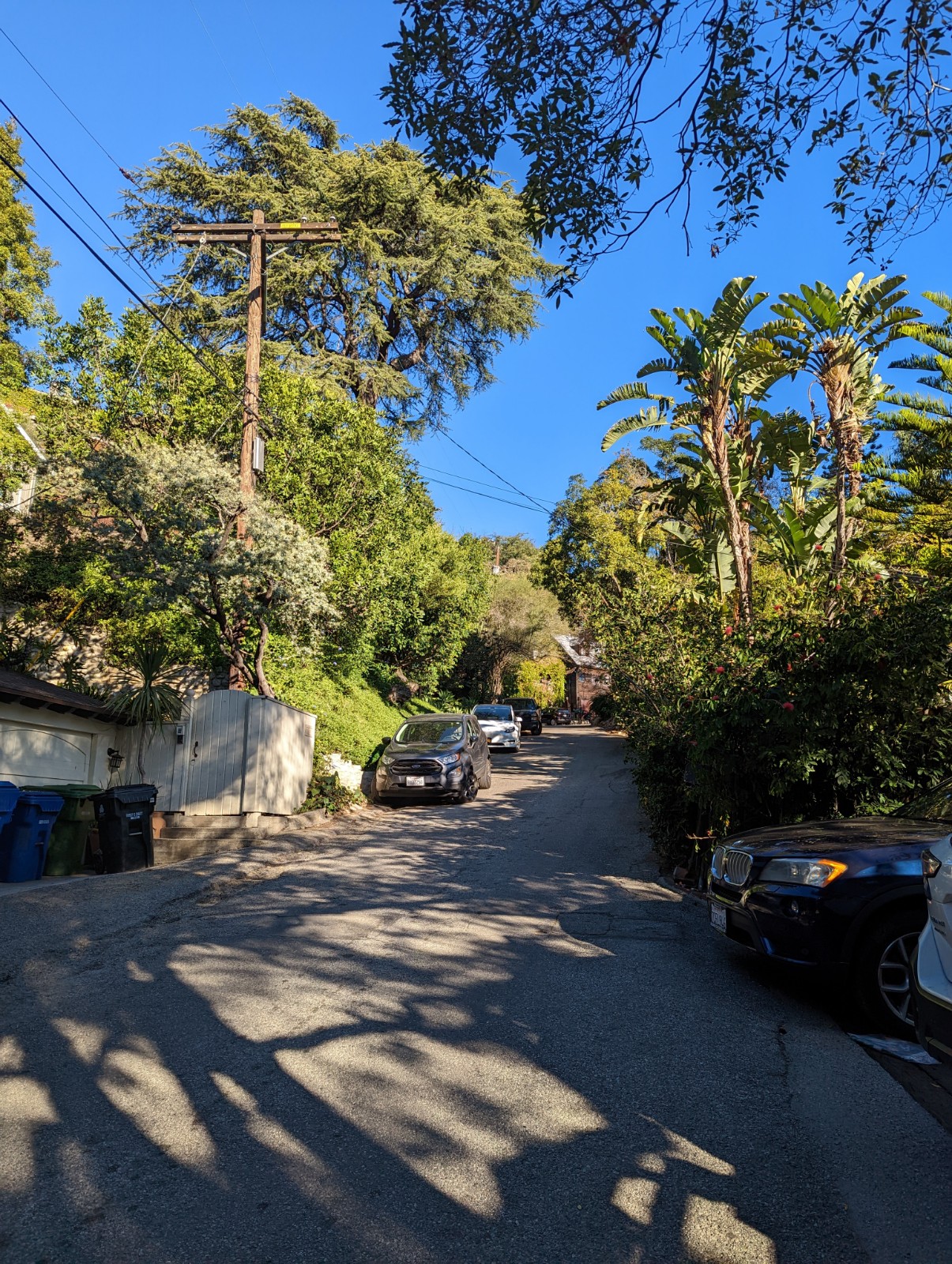
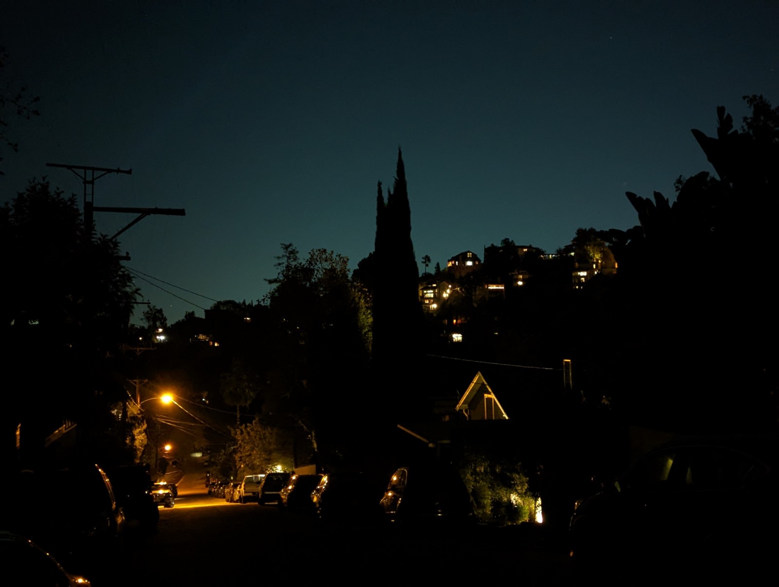
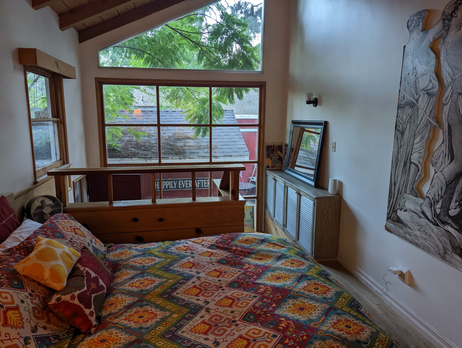
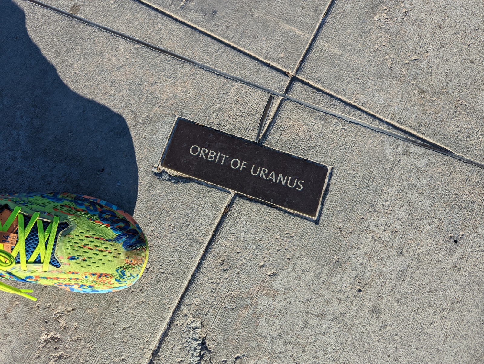
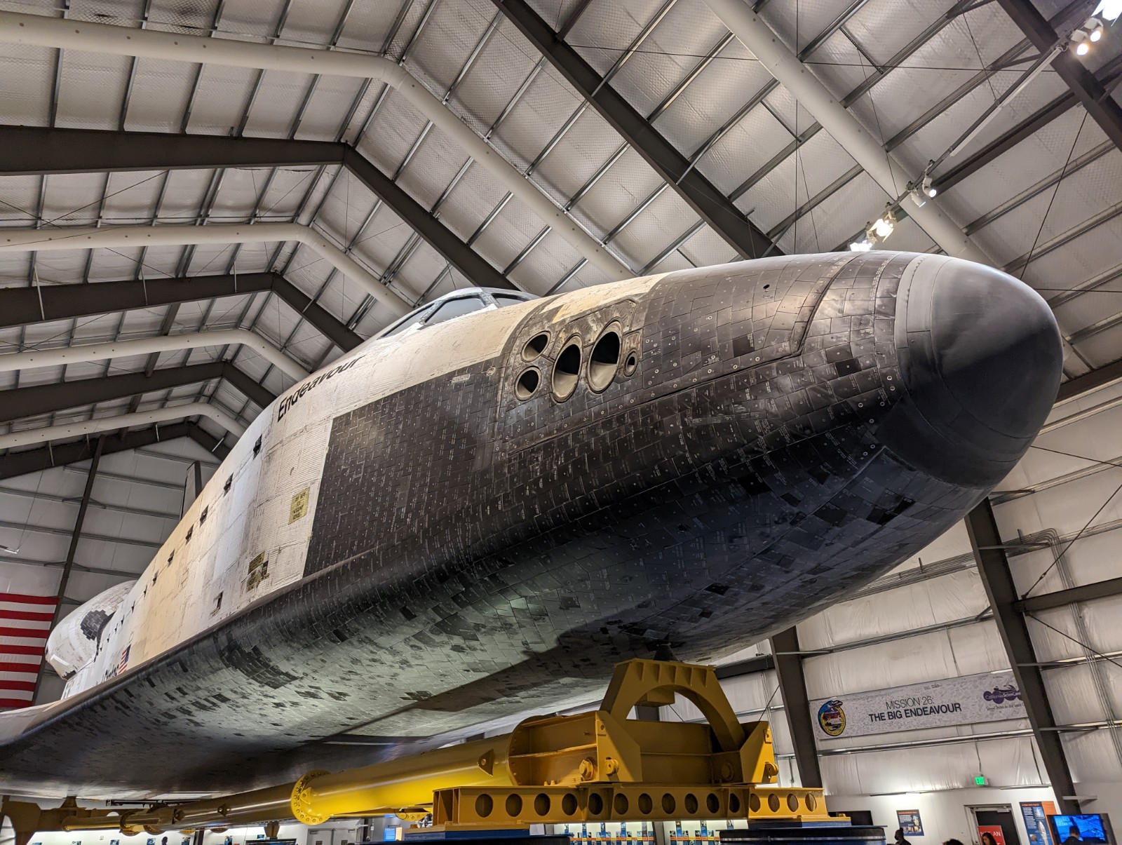
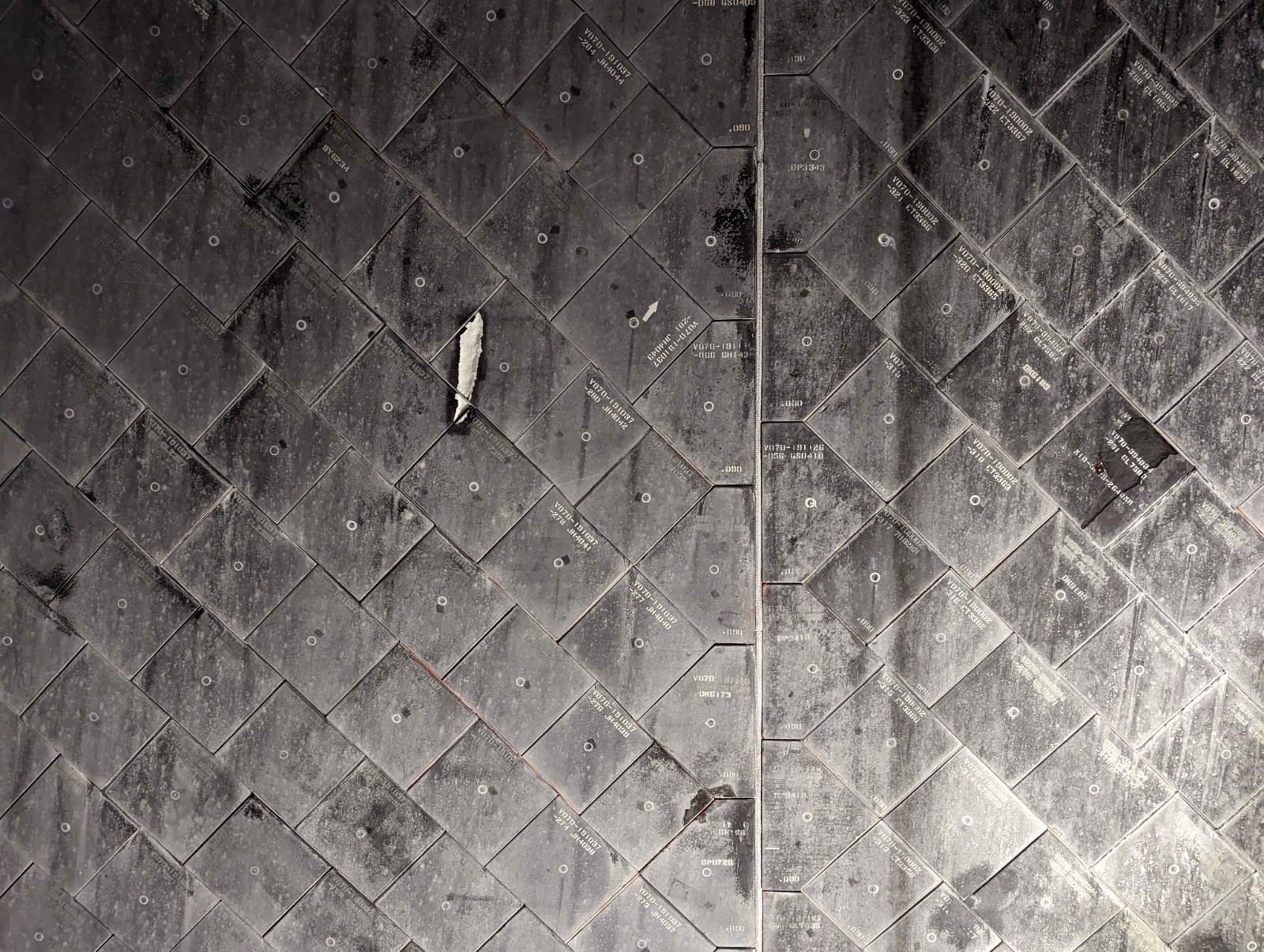
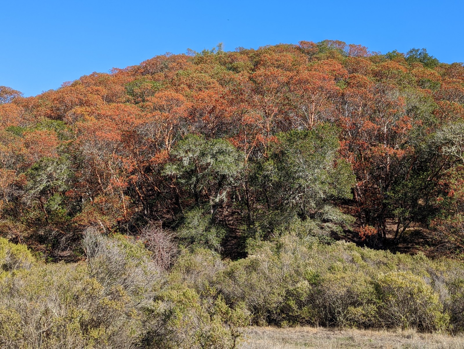
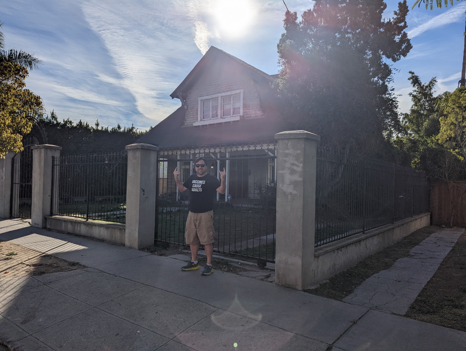
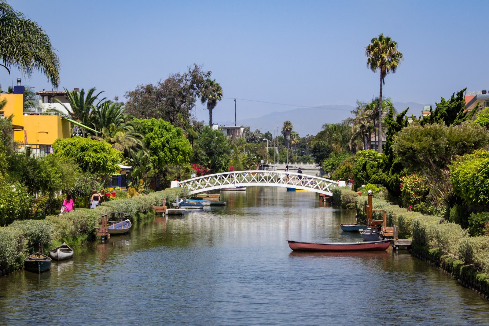
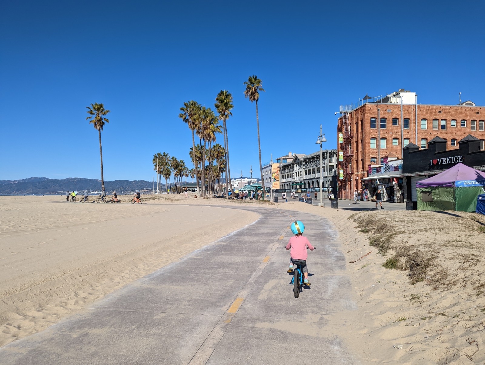
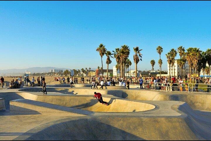
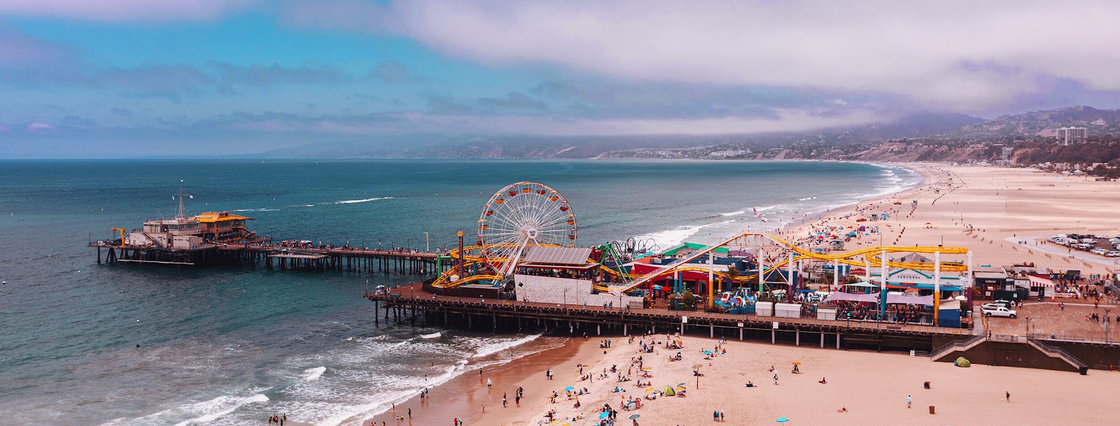
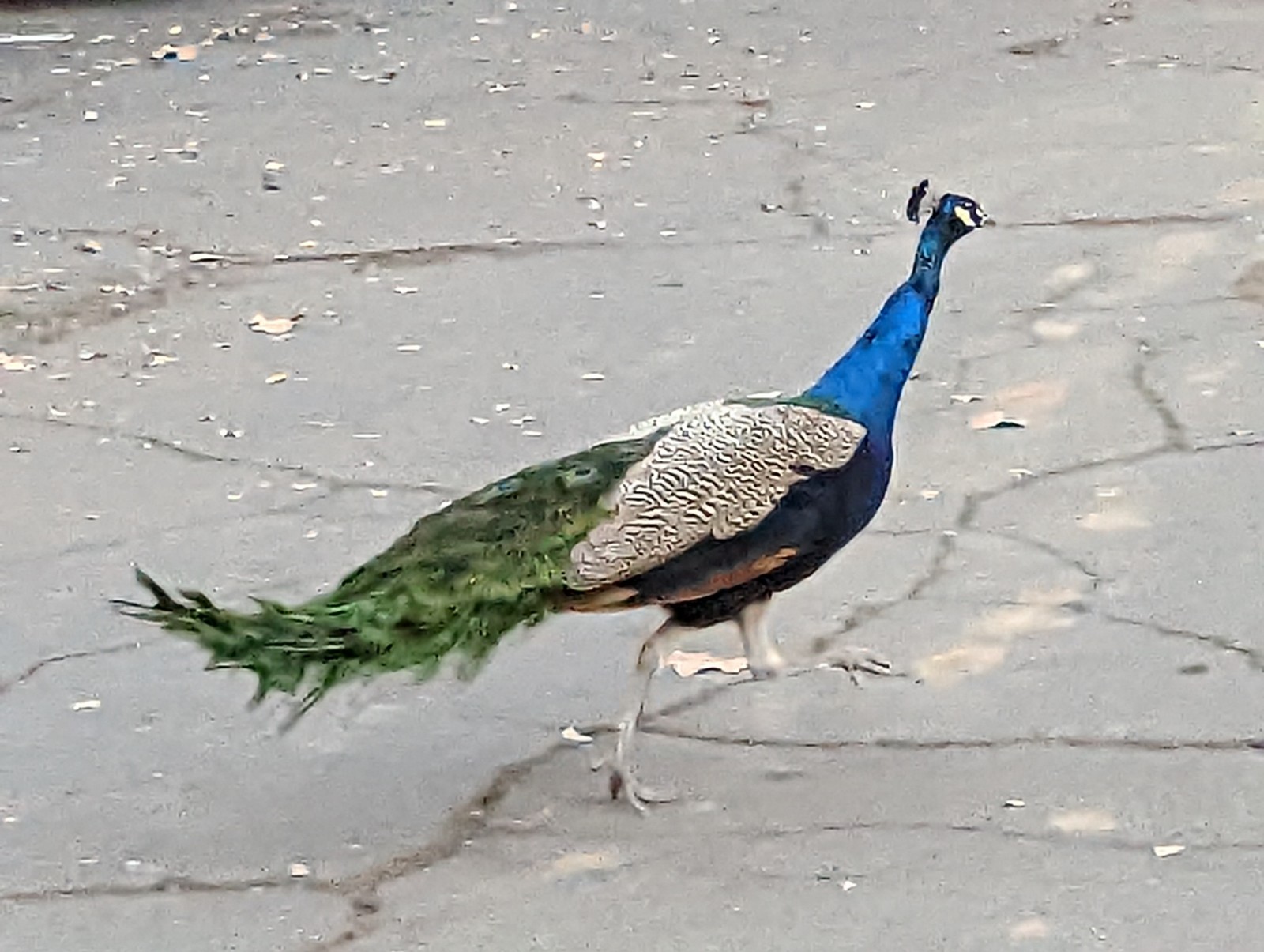
Above: Los Angeles, 2019. Below: Los Angeles, 2019.

We took this road trip during a break in both our careers in anticipation of moving to Sonoma. (And
here's a list of the good things about Sacramento I'll miss.) Originally for this trip I had big ideas about Norway or elsewhere, but a) I'm a dad now and toddlers don't care about "culture", so why torture both yourself and the toddler with a long uncomfortable plane ride, time differences, and unfamiliar food? and b) flying abroad, or flying period, is a lot less flexible than jumping in your car and just going. Plus, at this stage I'm kind of ready to just be a Californian for a while. (Being honest, it's not a hard thing to be.)
A side note - I'd been to most of these places places before and the obscurity of some of the attractions here reveals that these are the final checkboxes for me. And some of those I didn't care so much about anyway, which meant - I could relax with my family, sit in hot tubs, eat good food - you know, human stuff. (I have often meditated about
obligatory relaxation enforced by being in mundane or familiar non-home places, and this trip was a good example.)
SAN LUIS OBISPO COUNTY
On arrival in the Central Coast we began our consumption of mass quantities of tri-tip barbecue.
Big Bubba's Bad Barbecue in Paso Robles has good tri-tip, plus a talking buffalo head, and you can eat your meal in a jail cell. We then went to Pismo Beach to see the dunes and did a lot of boring non-photogenic family stuff.


Every time I go to this place I think that anyone who denies the existence of line in nature should come here.


Above: tracking dangerous wildlife, which I subsequently found, engaged in burrowing behaviors.


Above: you can almost imagine the taller one stiffly walking through the dunes and saying "That malfunctioning little twerp. This is all his fault! He tricked me into going this way, but he'll do no better."


Above: I also managed to finally get up on one of the Sisters in SLO. At first I thought it would be a cakewalk but if you take the steep trails it gets a bit scrambly, and much more deserted than I expected.
I wanted to see
Cal Poly's architecture graveyard but that will have to wait until next time.
SANTA BARBARA COUNTY

Above, a scene from Ostrichland in Buellton, where you can buy ostrich eggs and ostrich jerky, and even feed these nasty abominations, who literally bite the hand that feeds them. The little one could not have cared less about these creatures or feeding them, although it is much easier to to believe that birds descended from dinosaurs when looking at these things. I would also add that, like all birds, they are filthy, and their very size emphasizes this, as about every 60 seconds their ani would protrude and expel a splattering stream of viscous white fluid (graphic enough for you? I can never un-see it so you must suffer as well.) I would say that Buellton is the Leesport of the Central Coast.

![]()

![]()

![]()
Above you can see
Santa Cruz Island (the biggest Channel Island) and below, just barely, Anacapa. (Read
someone else's blog here for incredible pictures and descriptions of camping on Anacapa - which now I don't feel like I have to try, and like Ostrichlands also features filthy poorly-behaved birds.)

![]()
My original plan for Santa Barbara was to do an A-to-B from Gaviota Peak TH along 101 (where you park for the hot springs) to the old Reagan Ranch (
Rancho del Cielo - history here) and then come out at Refugio Road, which is a very reasonable ~13 miles - but it would be trespassing, and you would get caught. Seriously, don't do it. I called the Reagan Ranch and asked nicely for permission and they equally nicely but also firmly told me no, emphasizing the surveillance equipment (seriously, it was outfitted by the Secret Service - yes, 1980s technology, but all those fake boulders filled with movement and sound detection devices are still there.) So then I thought I'd start back at Gibraltar Reservoir and come up and over the front range there but you can't get there either due to high water after a rainy spring. So I ended up just going to Tunnel Trail, although it was really overgrown with a lot of bees so I got some pics and threw in the towel. Eventually I'd like to try the Topatopa Bluff trail down in Ventura and Chorro Grande (
Haddock and Reyes Peaks are cool too) but there was no way it would happen on this trip. Plus, this way I got to play on the beach with my daughter, which turned out to be better than any of that stupid stuff!

![]()

![]()

![]()

![]()

![]()

![]()

![]()
As you can see below, they have a nice moon in Santa Barbara, in fact it seems like the same one
I saw on Orcas Island but moon-transport costs are prohibitive so I'm frankly not sure what to make of this.

![]()

![]()

![]()
LA COUNTY
(Ventura given a well-deserved snub because the Aquatic Center was closed)
The Verdugo Hills

The Verdugo Hills are jammed right between the Hollywood Hills and San Gabriels, and though they have literally the biggest conglomeration of media companies in the world on their flanks, you'd think they'd be somewhat better-known - but they're not. (Hey, so much for simple models of the world where everything is about proximity and linear gradients!
rimshot) Like many hills or mountains, I first noticed these from other hills, namely,
Griffith Park. And the world and my schedule have conspired to keep me from going for a run up there. They're just not spectacular enough to justify a trip to LA even from San Diego, or to stop off during a trip to Norcal on I-5. Last time I was going to try was during the
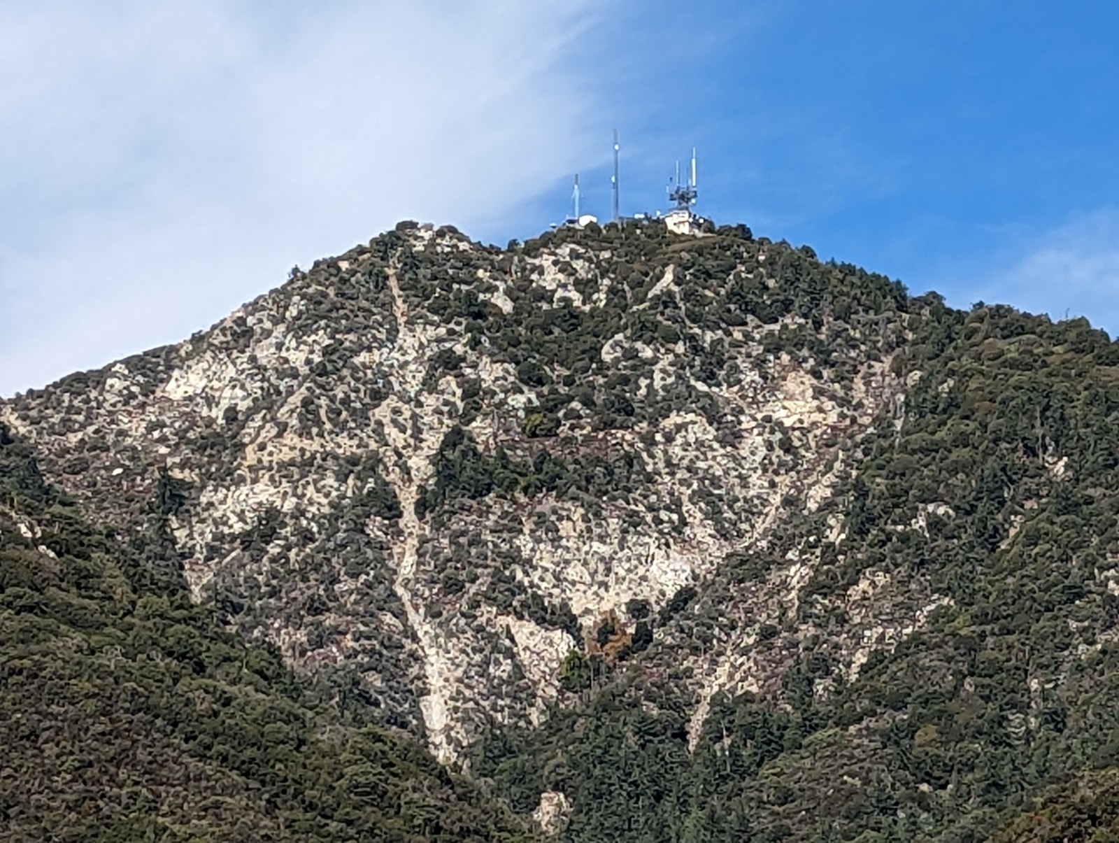
Rose Bowl but it didn't happen. But THIS TIME, NOTHING COULD STAND IN MY WAY. In fact, we deliberately got a hotel near the Verdugo Hills, so I could sit in the room viewing them as you see above, savoring my impending victory over my arch-rival.

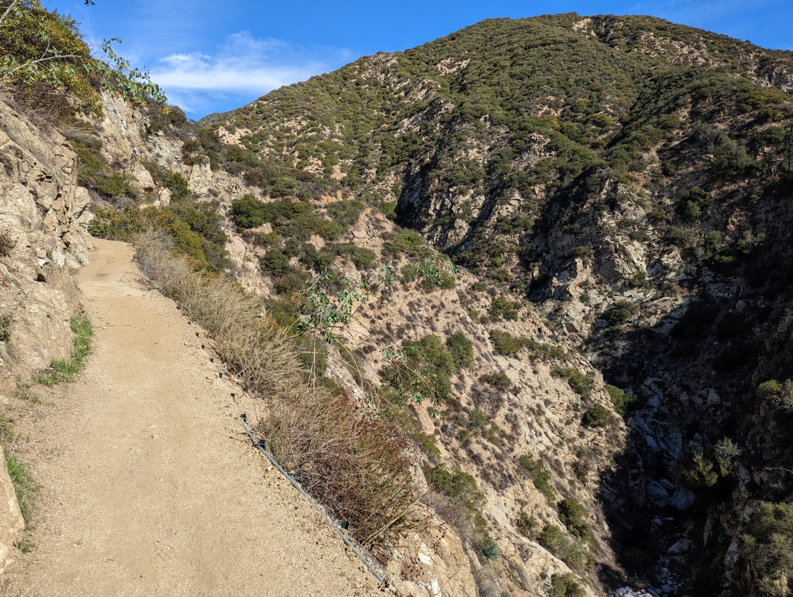
Above: looking back at the La Tuna Canyon Road exit off the 210. Below: just some of the wildflowers which dominated the flora.


You can see the beehive boxes stacked up in the back there. I've seen people complaining online about it as it's unauthorized use of public lands, but the bees didn't bother me when I passed by.


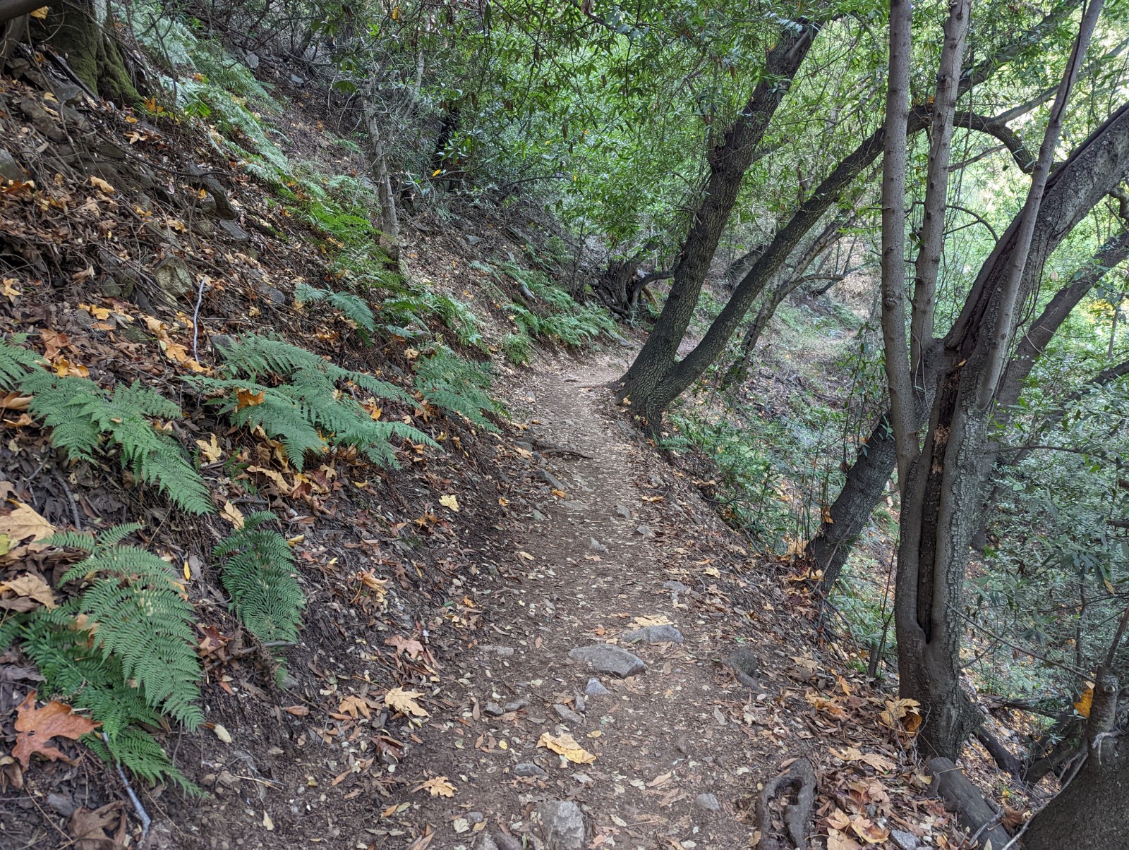
I expected VH to be a typical dry, scrubby Socal dust-and-rock pile. As you can see, it was not. In fact it was quite pretty! Especially the lower reaches on the east side where I started, which had - wait for it -
woods and streams. Even after a wet winter I was amazed they were still running in late May. The wildflowers were out of control too. Glendale has signed the area really well. I always just thought of Glendale as a generic near-LA/Valley neighborhood but on the flanks of VH the homes were really swayt.


The white powder-appearing material is actually white flowers, datura probably, thousands of them, like a children's fairy tale book.


The area you see here to the east is La Crescenta-Montrose and La Canada-Flintridge. The very tall mountains you sometimes see further east are the San Gabriels and progressively darker gray clouds gathered during my run until it finally did rain in the afternoon. In May. In LA. It was our fault.


Finally the summit/saddle area is sighted. Above is the Plantation Lateral, viewed from the southeast.


The summit ridge has been gained. As noted, it was really well signed up there. At long last, O my liege! I looked down into beautiful downtown Burbank. To the south (a bit left) the LA skyline is visible, with Griffith park closer and to the left (and the Hollywood sign facing away) and the hill of the Palos Verdes Peninsula rising dimly in the distance. The Burbank airport is plainly visible in the middle of the valley.


The signs were cute, but the kinds of people who will smoke and litter won't be affected by anything other than a blunt and serious threat of punishment. I'm clearly getting old because cutesy things annoy me now.


Above: There is an antenna at the very highest point, Verdugo Peak, and this annoying photo is my proof to the International Committee of Pointlessness that I was there. Below: the ridgeline that awaited me. There was plenty to go after this, including a few miles through Glendale.


They're missing an "-er". Meanwhile, I continued down the mountain, marching behind the crooked cross, so I just closed my eyes and forgot my name. Looking at those clouds, it seemed it was about to rain blood, from the lacerated sky. LA got noticeably closer during the run south on the ridge.


Above, a castor bean plant, which looks poisonous, and is. Highly invasive. (Thanks to the smart folks at California Native Plant Society on Facebook who as usual identified it within minutes of posting the photo.) Below, Griffith Park from the back, which I would visit the next day.

The next day I went to Griffith Park to do the thing that all normal people who go to Griffith Park do, which is hike up to the Hollywood sign. I had been there once before but not gone to the sign. Also greener than I expected! I heard a disturbing number of English accents during this hike. We have to work harder to keep these miscreants out.


Above: don't know the story there. Below: when I was looking down at Burbank from the backside of Griffith Park and using Gmaps to figure out what streets and buildings I was looking at, I noticed Ronny James Dio's grave was marked on the map, in the cemetery between Griffith Park and the 5. While he seemed like a nice guy (I kinda sorta met him backstage in like 03) I thought it was a bit much to specially mark him on there - and then realized that Google knows I'm a metalhead...interesting.


Above: crows had built a nest on the D. Ergo, those crows must really like the D.


Above: lots of surveillance around the sign now to keep tragedies like the Caltech prank from happening again, where in 1987 Caltech students changed the sign to read (what else) Caltech. Note, by "tragic" I mean "the best thing that ever happened." Below, Griffith Observatory at left watches over LA and waits for the arrival of naked time-traveling cyborgs that demand punks' clothing.


In LA proper I also went on my own to some obscure locations I wanted to see like the filming location of the Bat Cave (also in Griffith Park) and encountered a little kid unironically wearing Batman pants on the way up. I also drove through the
Second Street Tunnel (used in Blade Runner and the Terminator) and drove by the
Time Travel Mart, but couldn't go in because it was closed to shoot a commercial when I went there (I commented to the people at the door that they must be checking for real time travelers because that wouldn't stop them, but they didn't appreciate my brilliant quip.) We then went up to
the 70th floor of the Bank Tower and I went on that transparent slide on the outside of the building - no joke, it was a lot scarier than I thought it would be. I'd already gone to the Bradbury Building before to re-enact the Roy Baty pursuit of Deckard, but this time I saw it from high up. (It's not a high rise despite the ending, and especially doesn't look like that far to fall from up there.) There were two helicopters flying in close proximity around the building no doubt shooting something, but it was actually a bit nerve-wracking.


Above: the Hollywood Sign in the distance. Below, that's the slide from outside (from underneath.)

What I didn't get to do: run in the Santa Monica Mountains or any of the other northern preserves that
my favorite running blog frequently features. I was too beat up (which is why I just hiked up to the Hollywood sign.) I also wanted to see Frank Gehry's house, the science fiction prop museum in Venice, and visit the LA Science Fiction and Fantasy meeting, as well as see the room at UCLA Library where Ray Bradbury wrote Fahrenheit 451 on a rented typewriter, and the Clifton Cafe where he often ate - but they'll wait for another time.
A note on Asian food, a principal reason for our visit to LA: we dined at Lacha Somtum Thai on the 5100 block of Hollywood Boulevard (hard to go wrong on that block), Sichuan Impression in Alhambra, and Seafood Harbour in Rosemead, all fantastic. We also cleansed the palate with a Western meal at Water Grill in downtown LA. Dress codes there have really gone downhill, you know I saw a guy in a T-shirt, holey sneakers and salt-stained shorts in there. Sheesh! I managed to stay away from Sunset Boulevard, although I do have a story about the Roxy for you. A kid I mentored was in a band that played there one night, and he invited me backstage. I was expecting all kinds of sex drugs and rock-n-roll, but what was the band actually doing? Playing
Magic: The Gathering, and drinking soda.
Diet soda. Real nice guys. Really enjoyed talking to the singer about the business aspect, which he was quite wired into. But totally deflated my idea of what goes on back there. (I think I saw Pauly Shore in the crowd at the show. He was an idiot.)
It goes without saying - only the city of Los Angeles herself - in all her glittering, terrifying, magnificent postmodern decadence - can make any claim to measuring up as the Leesport of Los Angeles County.
ORANGE COUNTY
You should go to Running Chicken in Irvine. Sadly, Orange County has no Leesport equivalent. This is the first time the team has encountered this and we still don't fully understand it, but we have
top men working on it right now.
SAN DIEGO
There is a now a Din Tai Fung in San Diego. We made a reservation a month in advance for this Taiwanese chain. I always wondered why there weren't noodle chains, but now there are. They seem to be becoming the Mercedes of Taiwanese restaurants: rather middle class at home, but recognizing and fully capitalizing on their demand abroad. Lunch the next day was rolled tacos from Cuatro Milpas, which
I've bragged about before, since having them makes me a better person than you. Dinner was at Sab E Lee in Linda Vista. For two nights. I fail to see a problem there.
I also went to Rose Canyon for my periodic fennel genocide (fennocide?). And I'm pleased to report that the area where it was worst, at the west end of Rose Canyon up on the hill facing the 5 where the preserve bends to the south to join Marian Bear -
was almost entirely free of fennel. I saw maybe 5 plants. I don't think I can claim complete credit for eradicating it (though I can claim
some) but to whoever else is there wiping it out - it worked! Thank you! I went back into Rose Canyon on the north side of the railroad tracks. I didn't have time to get it all and there are some thick stands. So if you want to get your frustrations out and help preserve San Diego's ecosystem, take the trail on the north side of Rose Canyon from the south dead-end of Regents, going west, and you will find fennel.
WIPE THEM OUT. ALL OF THEM.


Looking across the small channel from the airport side to Liberty Station, then towards downtown. And yes that is a landlocked naval vessel, a 2/3 scale model used for training, the only commissioned US Navy vessel never to go to sea.


I will, one of these days, get out to the Mason Truck Trail (
great description by the late great Jerry Schad here) and run up that thing to Sunrise Highway/Mt. Laguna, but didn't happen on this trip. I alsoi would've liked to run on the beach or Mission Trails, or hit Alesmith, but toddler. Regarding beer, San Diego has been quite complacent for some time, and Sacramento has a more down-to-Earth set of solid offerings. Plus, Pennsylvania produces
THE MOST MICROBREW BEER.
Going Home - I-5 and Points North
For most people the Central Valley is a blank void that I-5 passes through. You're missing out - here's a
quick list of points of interest.