Showing posts with label mountains. Show all posts

Saturday, December 3, 2022

Los Angeles, November 2022


I'm always amazed and grateful when I talk to people who actually read my blog - and of course you tell me you've noticed the decrease in frequency. Partly that's family- and career-driven, and COVID certainly hasn't done anything to increase my traveling. And in 2019 I wrote that I was just going to be a Californian for a while. I had no idea at the time how much I meant it!


FOOD

Venezuelan food in Little Ethiopia - previously unbeknownst to me, there is a little Ethiopia on Fairfax not far from the tar pits. A neighborhood never smelled so good about 6pm. That said, I went to Flavors From Afar, which has an interesting model where they have guest chefs who are refugees from various parts of the world. When I was there, it was someone from Venezuela. I'd never had Venezuelan. The shredded beef, goat, and cheese bread were pretty tasty. Not surprisingly, Caribbean, in my experience reminded me of Puerto Rican food.

As a rule, when I'm in LA, I will not leave without hitting Thai Town (~5100 Hollywood Boulevard.) Pictured below: octopus from Crispy Pork Gang.


Pictured below: Chengdu Taste in Alhambra. Pictured from left: fish, chicken, and gizzard.


Din Tai Fung - the one in Glendale. Din Tai Fung has developed the Mercedes model of international marketing. That is to say, at home in Taiwan, they're a solid but not fancy noodle house chain. In the US they are a high-decor type of place with earnest and good-looking young servers (the one in UTC in San Diego is similar), and prices to match. But the noodles are still quite good. I came back to life in this place after getting unexpectedly rocked by Mt. Wilson.


CULTURE

Laurel Canyon - I'd never spent any time in this area before, and it's pretty neat. Reminds me a lot of the Berkeley Hills. If you don't know the history (which I didn't until recently) it's an area well-known as the place where a lot of folk and rock figures from the 60s and 70s lived - Joni Mitchell (Ladies of the Canyon), Jim Morrison, Mama Cass to name a few. Jared Leto lives in a converted radar station at the top of the ridge not far from Mulholland because of course he does.
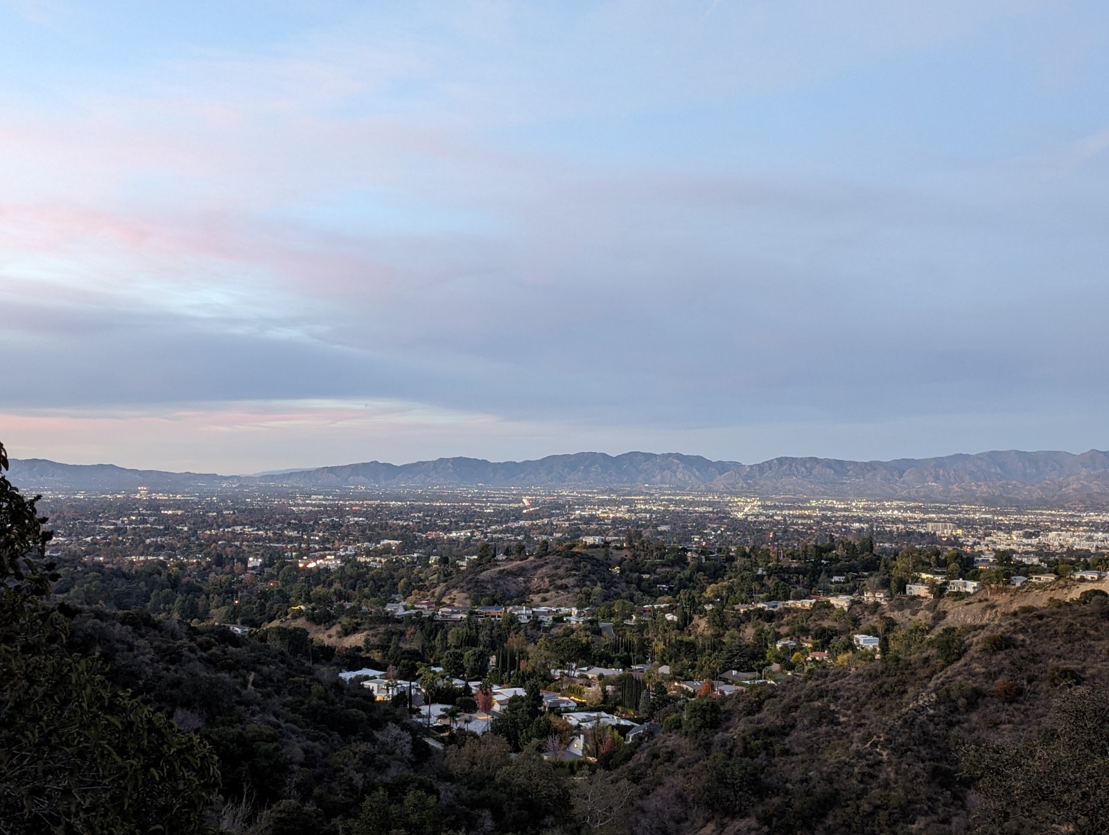

Above: the San Fernando Valley from an overlook along Mulholland.
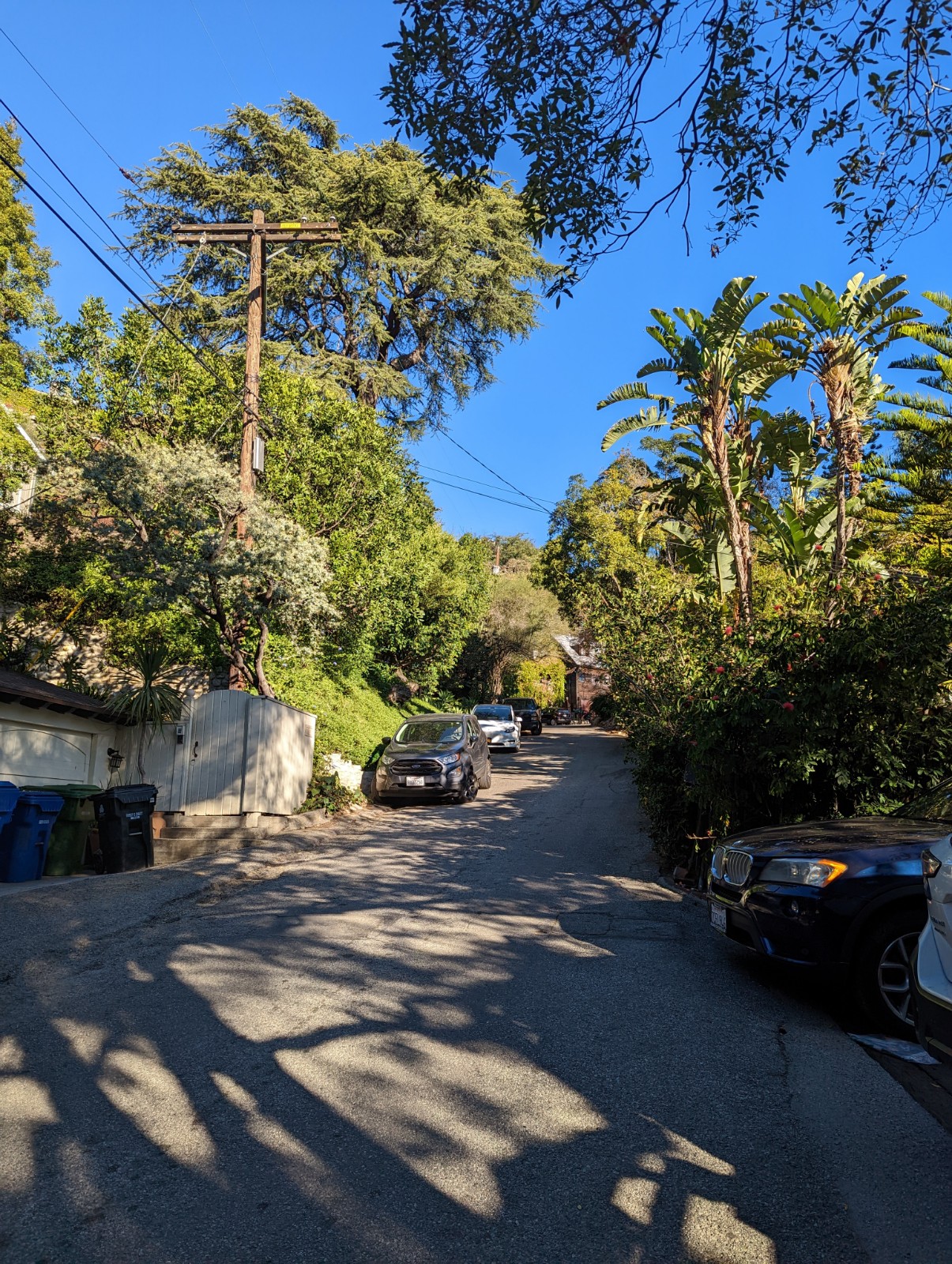


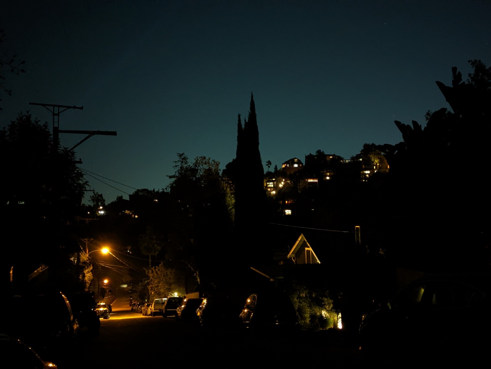
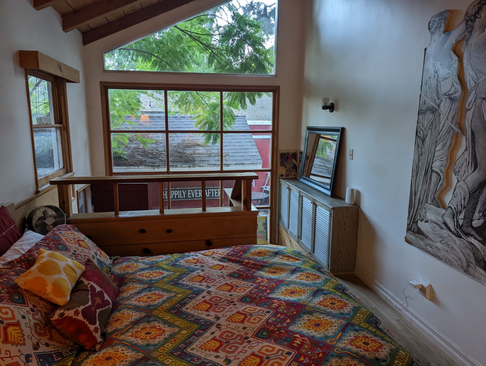
Above: Laurel Canyon during the day, at night, and from inside our Airbnb. Below, Griffith Observatory, with important astronomical markers to scale.

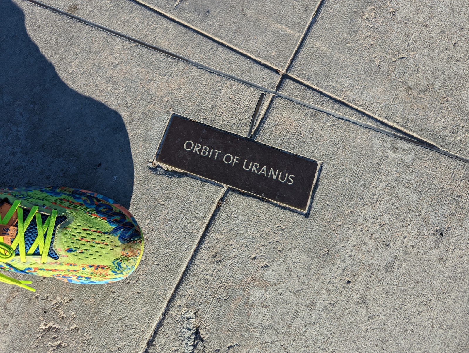


Griffith Observatory - sadly the planetarium broke while we were waiting in line for it, but the museum and views are worth it alone. Also, not surprisingly, it's been used as a backdrop quite often (Terminator, Rebel Without a Cause, Metallica, and Star Trek Voyager.) Don't forget in Griffith Park you can also hike up to the Hollywood Sign or the Bat Cave.) Not an unreasonable hike from/to Thai Town.

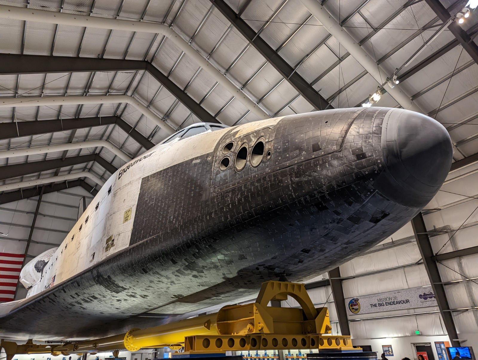
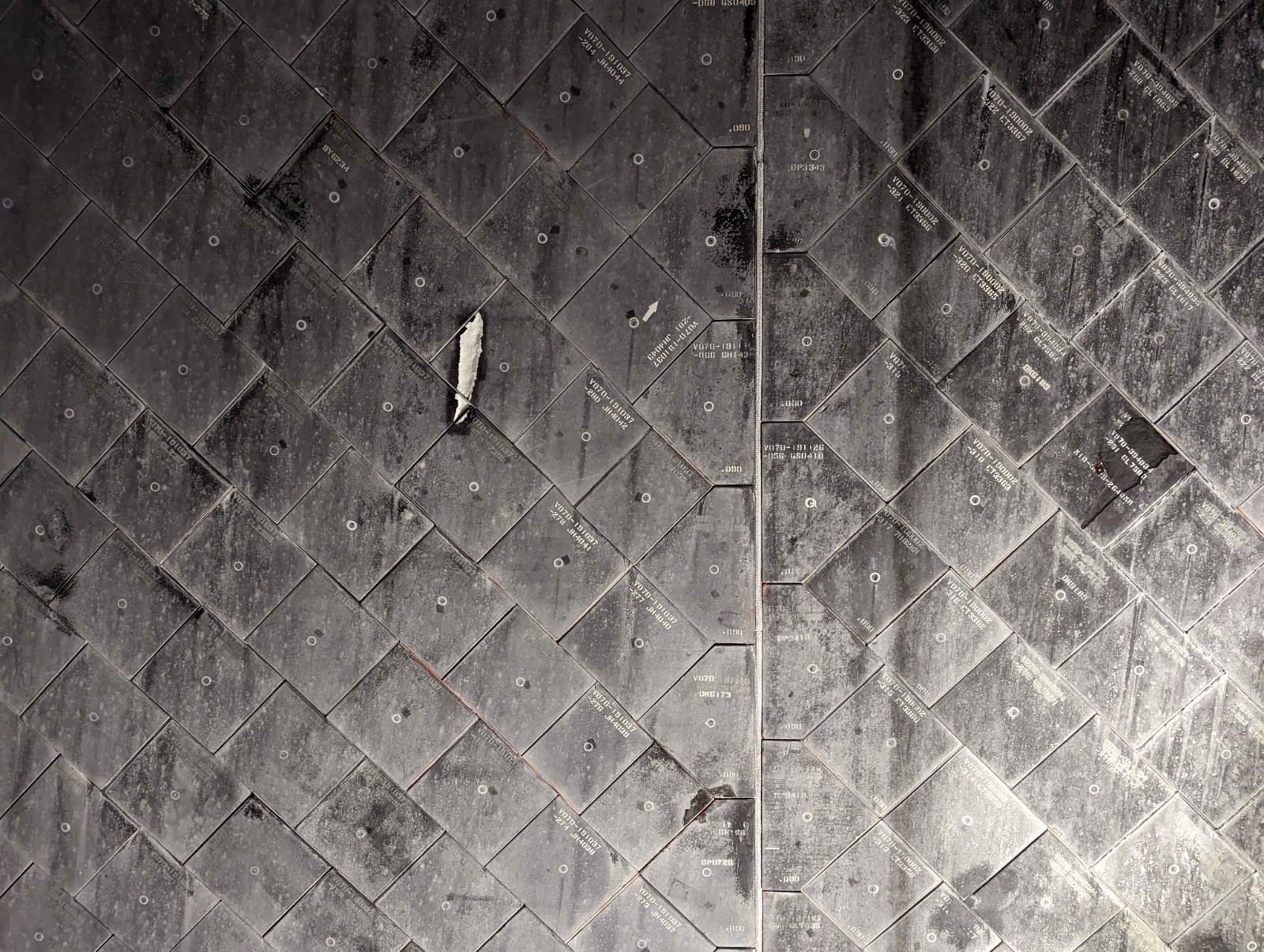
California Science Center and Natural History Museum right next to USC, who I still have a problem with. They have a Space Shuttle but that's certainly not the only attraction. (I like to keep track of positive surprises when I travel and the positive surprise for me here was Natural History's mineral room.) The Science Center has a pay-by-exhibit model (like a small amusement park) but most are free, including the shuttle. Detail on the shuttle includes tiles, and reaction control system thruster ports.



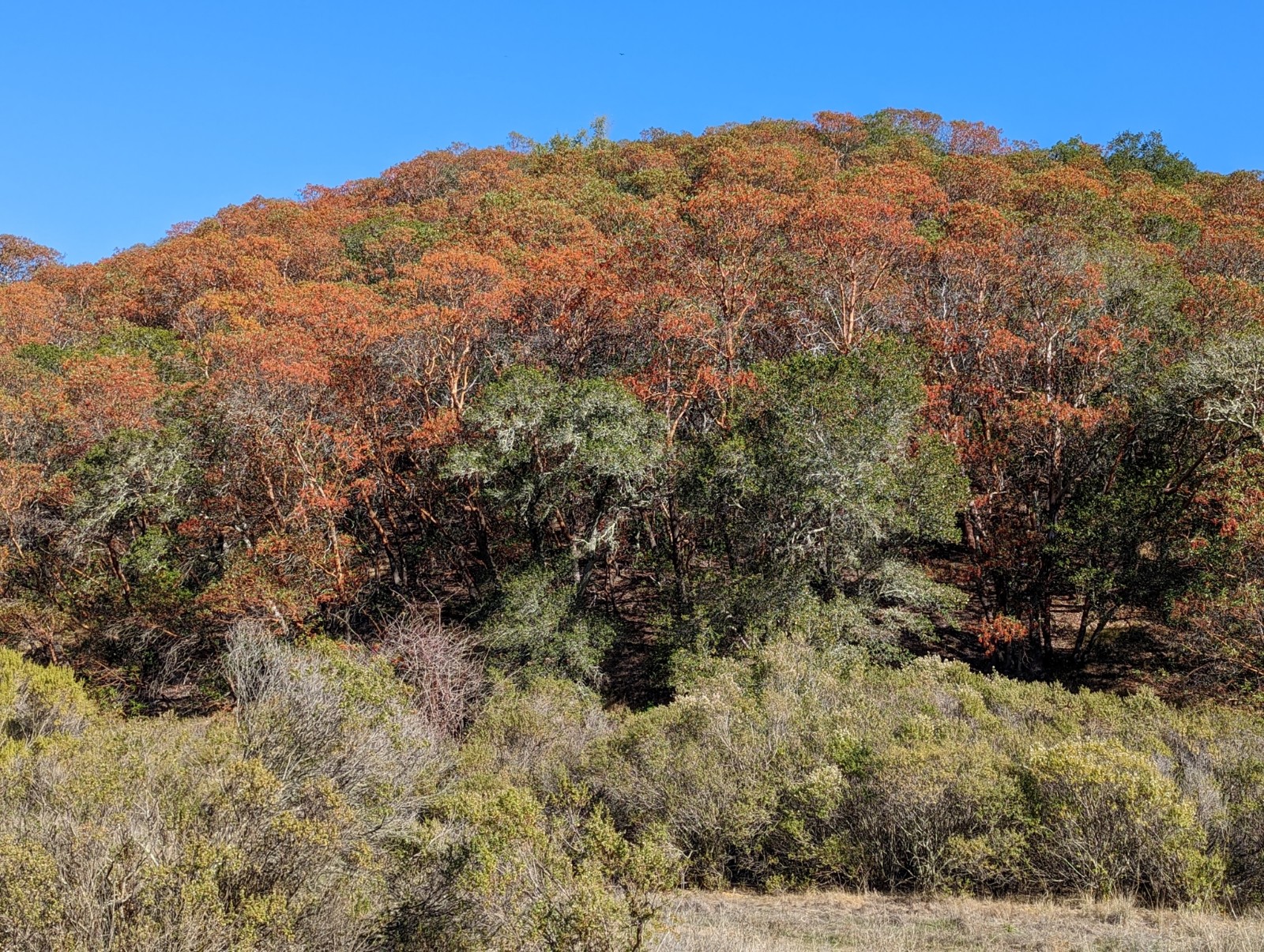
Hollywood Boulevard. Of course. I think maybe I went there once with my parents when I was about 15 and found it underwhelming. I can't say I find it that much more exciting now - it has a claustrophobic, trying too hard to be Times Square vibe to it - but you have to take your family there once. Instead of Hollywood, here are pictures of the inspiration for the name, actual California holly (toyon), taken a few days later in Novato, Norcal. (Merry early Christmas.)



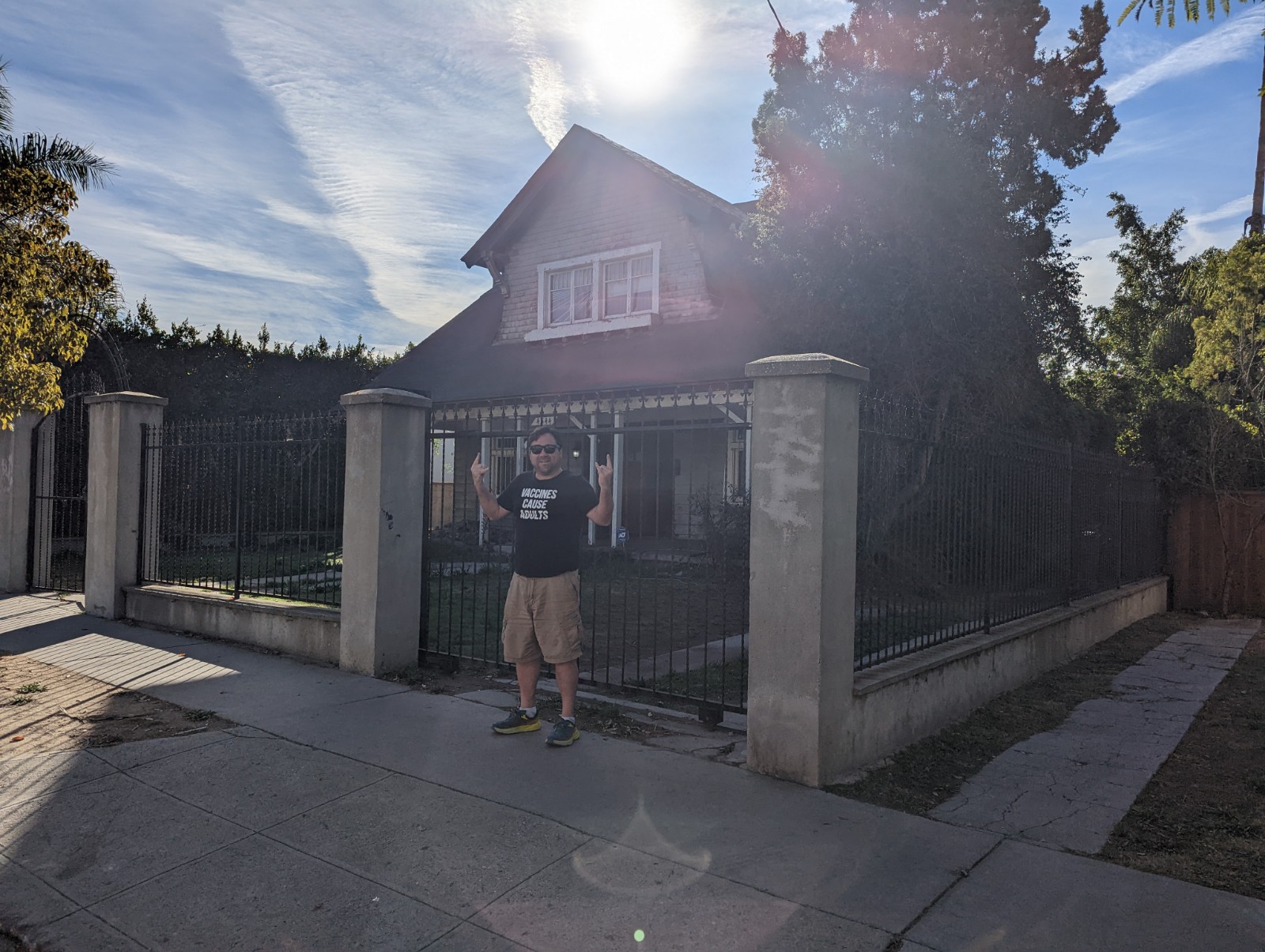
Danzing's Evil Bricks. Do you know who Glenn Danzig is? Do you know he had evil bricks? (Really, click on that.) We paid a visit to his house (or maybe he moved, I don't know) and to be honest I actually got nervous. Related, Monty's in Santa Monica has a dog as its mascot and the style of the logo may seem familiar (see below.)


OUTDOORS

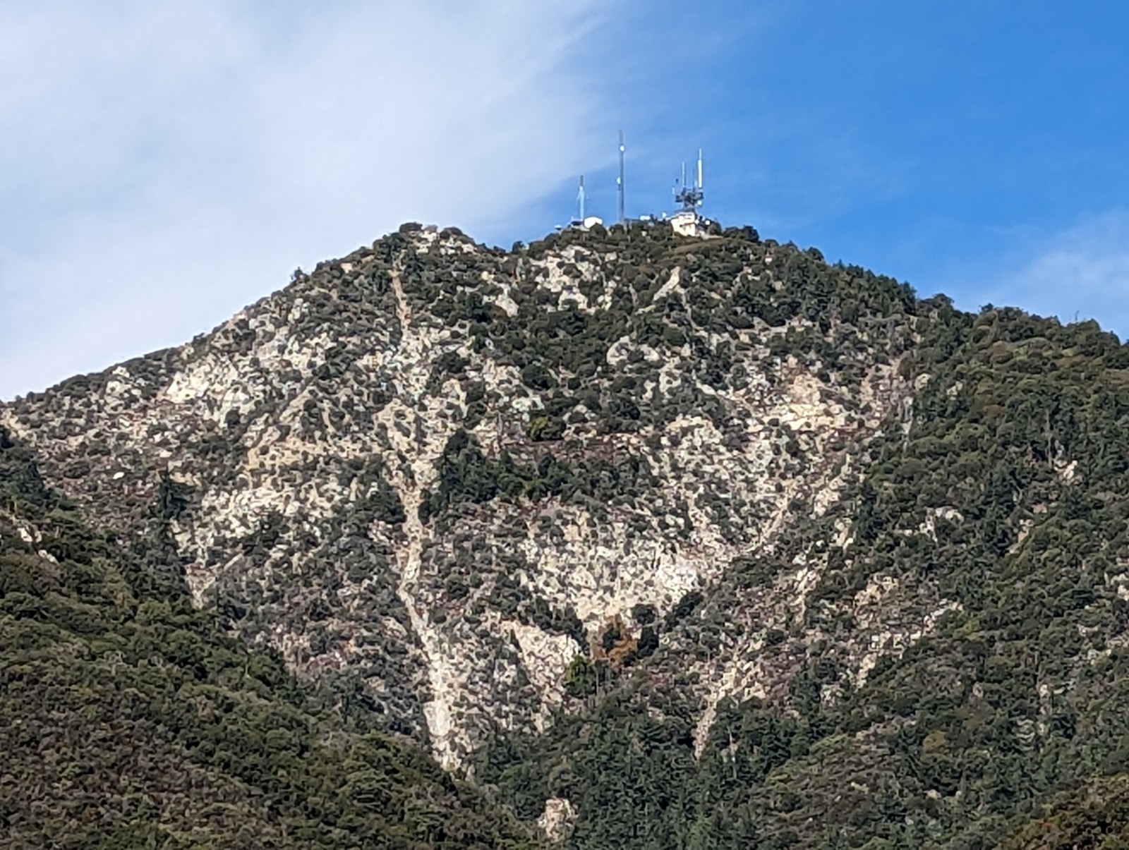
Hiking up Mt. Wilson to the observatory. I was getting over a respiratory illness (not COVID) and this mere 7.5 mile, 4500' climb unexpectedly sucked the life out of me. Beautiful climb next to the Santa Anita trail complex, in the western greener end of the San Gabriels. My bizarre obscure association with the roads winding through Angeles National Forest is now the Name of the Game episode L.A. 2017 (made in 1971), one of Steven Spielberg's first projects, where he imagines a future Los Angeles moved underground due to pollution and policed by psychiatrists with intramuscular sedative guns.
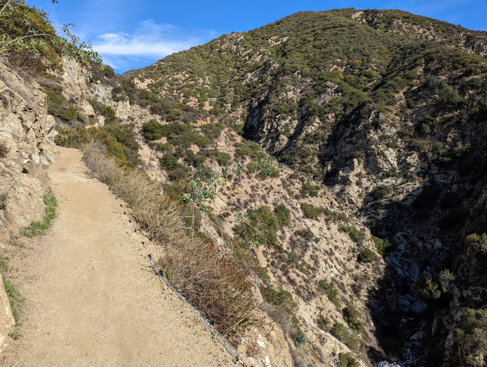

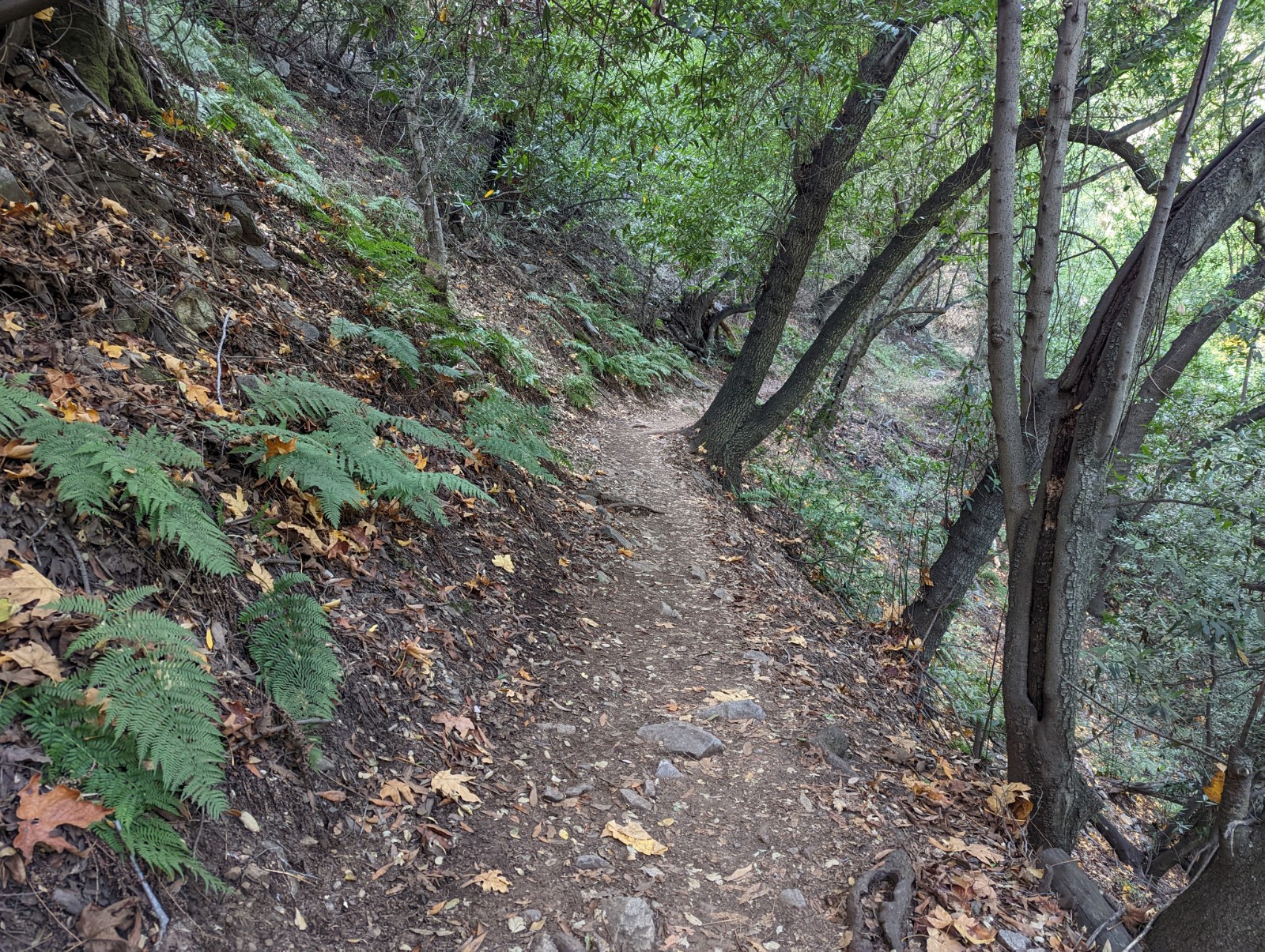


I'm always surprised by how "ferny" the western end of this range can be. It just seems inappropriate for them to be in such close proximity to yuccas.


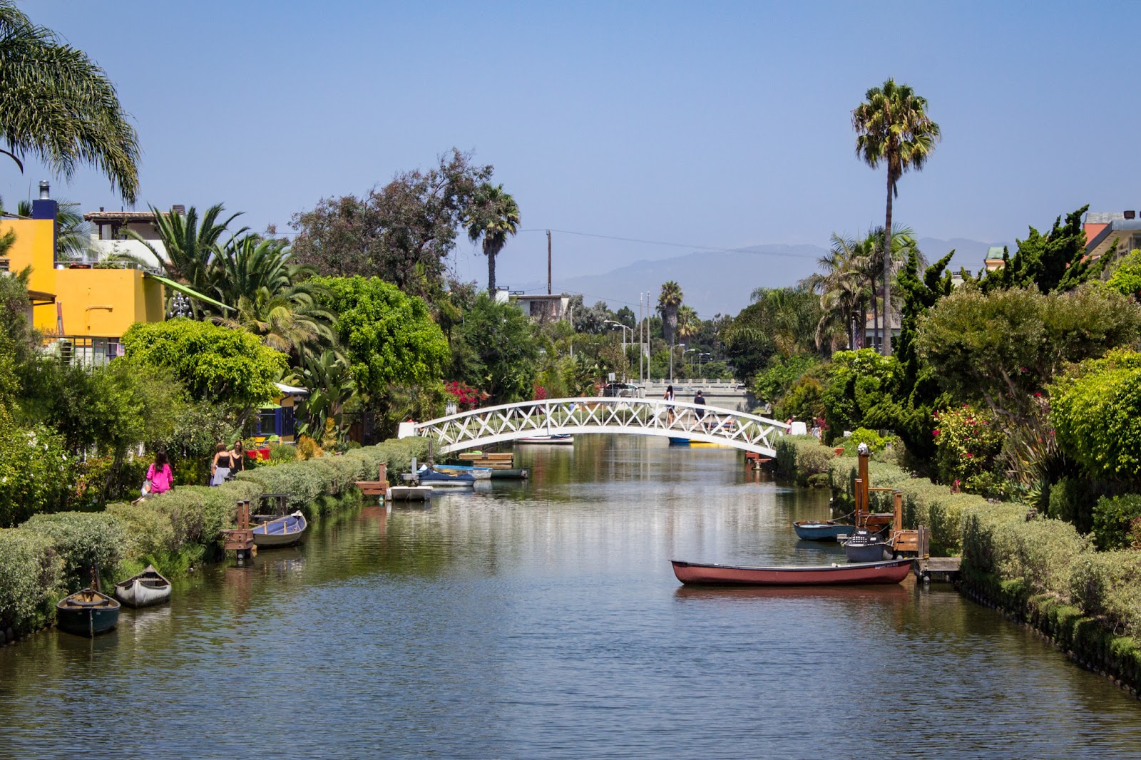
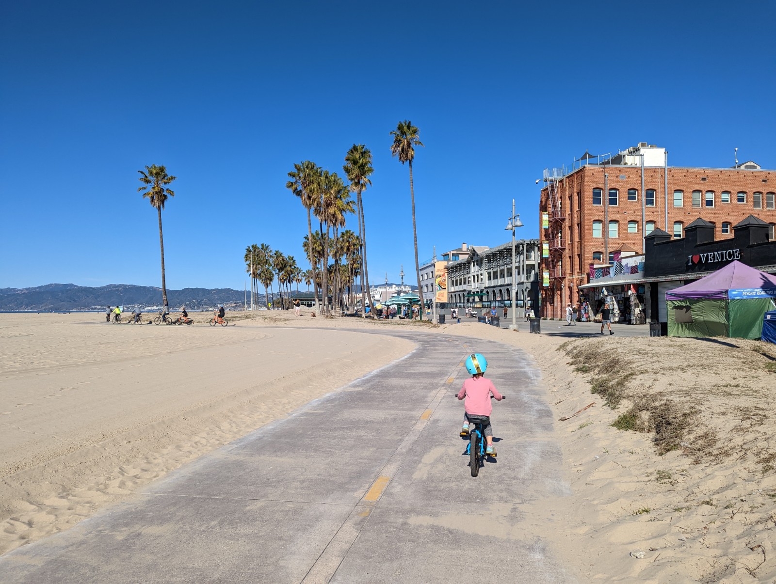
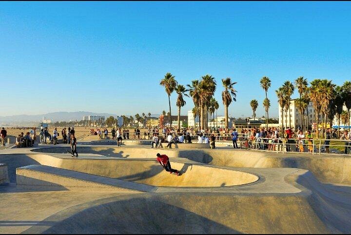
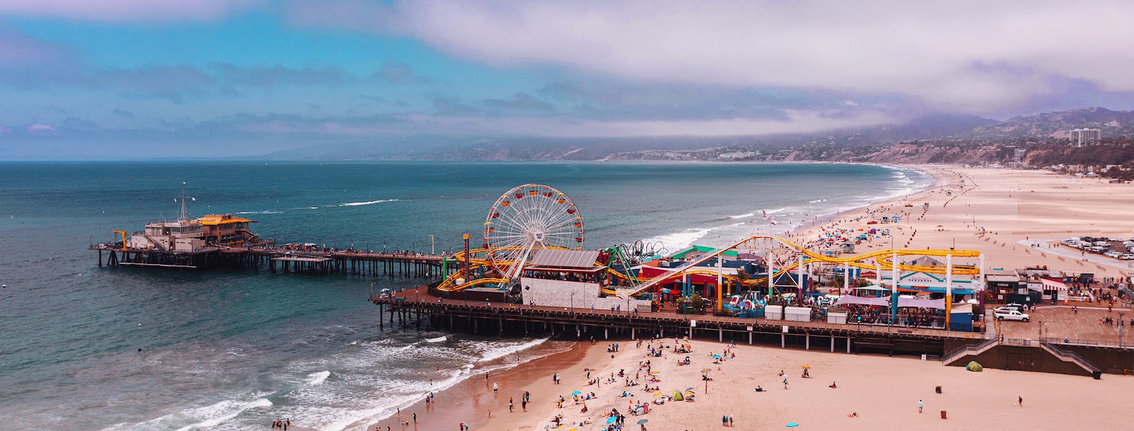
We also rode from the Venice canals along the boardwalk past Muscle Beach and the skate park to Santa Monica pier.


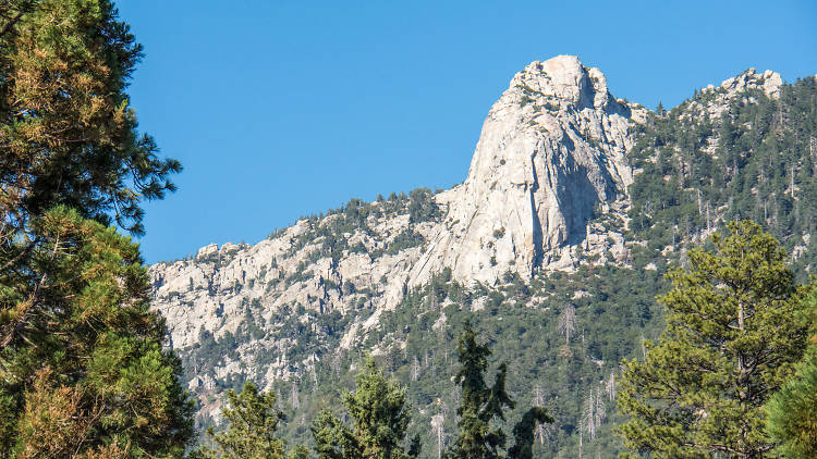
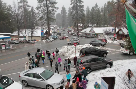
Idyllwild up on San Jacinto. San Jacinto is part of the SoCal mountain trifecta which I bagged starting from Humbert Park in 2012, though the Cactus to Clouds route is more interesting for sure. The mayor is a dog, Maxwell III. At lunch at a brewpub twice I overheard from the hostess speaking to a group of customers "Unfortunately we're at our dog capacity so we can't seat you right now.") A group in the late 60s manufactured LSD there and then dropped it out of a plane onto Laguna Beach. It's just that kind of place. As for us, we just met up with a nice family and had ice cream and played with Aussie shepherds, so you can do that too. Below: two photos of Idyllwild I found online, forgot where, if they're yours comment and I will gladly credit you.


ERUDITE CULTURAL COMMENTARY

  • People like to talk about how LA is a homeless hellscape. Yes we saw a few tents and homeless people. It was maybe a little worse than the average U.S. city. The worst thing I saw was a breadline on the boardwalk in Venice Beach on a Sunday morning with about 20 people in it. Two of them said hello and were polite and just regular folks.
  • I made a point of driving by Paramount's Bronson Gate (reminded by having seen the tank sticking up looking down from Griffith Park.) I wonder, why do some studios have an amusement park and others don't? Is it just real estate? (On review sites people seem to complain more about the lameness of Paramount's tour.)
  • Downtown Glendale is getting better and better and I like it for many reasons. And it's going to sound cringey but I'm going to say it. Walking around, I saw a bunch of young people with genes hailing from every corner of the planet, either busting their asses working hard, enjoying life, or both. This is the American experiment working spectacularly well. When these kids run across some aggrieved Republican crying about America's supposed decline and yelling about taking it back and making it great again, I can only imagine they just think to themselves "What are these people even talking about?"
  • What happened to the prominence of the defense industry in SoCal? The pseudodystopia of Kim Stanley Robinson's Gold Coast is not what happened.
  • Like many northeasterners who migrated to California, I imprinted on the part of CA I arrived in (Norcal) and absorbed the chip on my shoulder about Socal from the people in the Bay Area. But it really is a one-sided rivalry, and after living in Socal for a few years I got over it, and I really like visiting LA. And, amazingly, a city based on the entertainment industry DOES have a lot of good-looking people! Shocker! Still, somehow LA always gives me a feeling of desperation coursing underneath the smiles (that I'm certainly not the first to observe) which is at the same time somehow also freeing. I cannot recommend this essay enough.


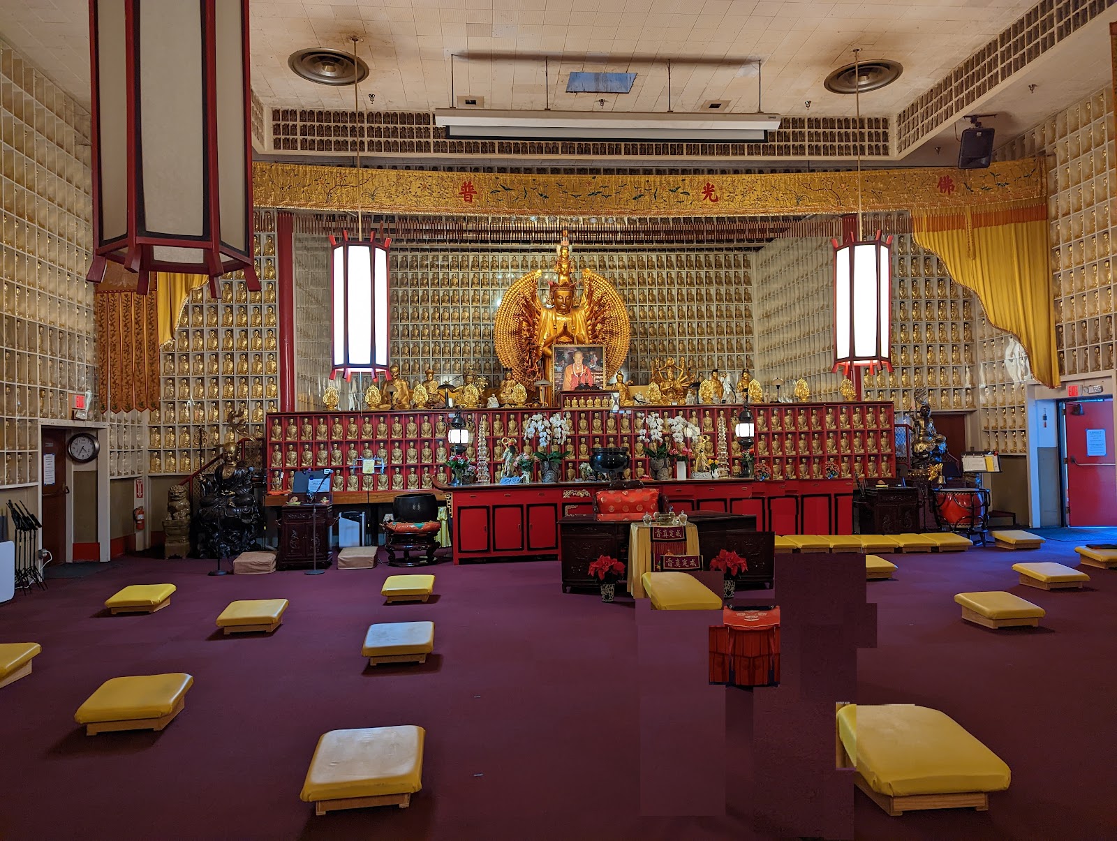
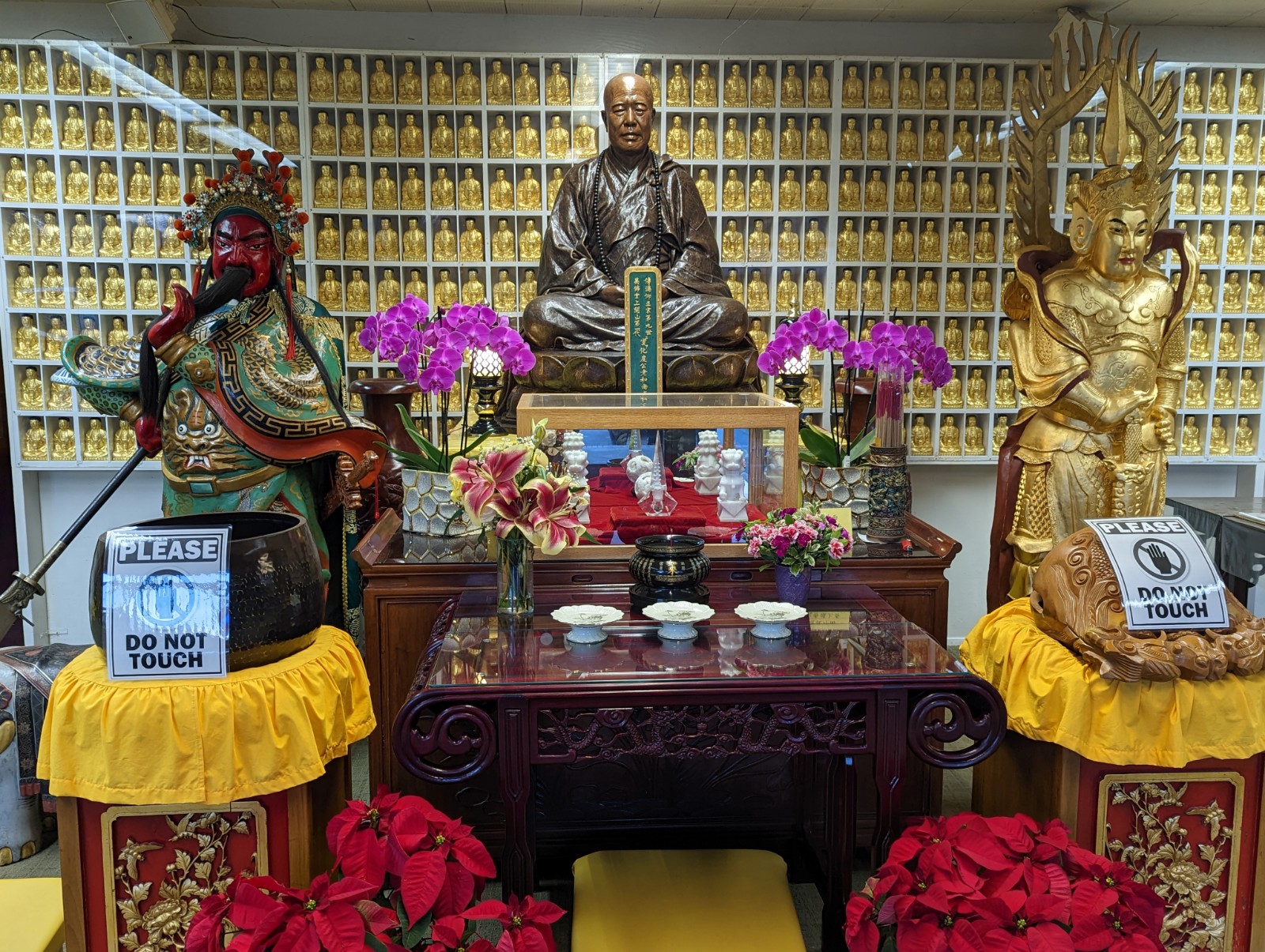
BONUS: CITY OF THE TEN THOUSAND BUDDHAS, UKIAH, CA (learn more here)


FIN

Saturday, October 10, 2020

Wright Peak, Mt. Konocti

I was always interested in this mountain as a volcano. Years ago I was quite interested in the idea that the Sutter Buttes were in fact the southernmost Cascade - either way they're anomalous in their own right, but part of my argument was that they were close to, or not far south from, the Mendocino Triple Junction where the North American Plate, the Pacific Plate, and the Juan de Fuca (or at its southern extent, Gorda) Plate, the latter of which is a subducting rather than transverse plate associated with Cascade volcanism. These are the remnants of the Farallon Plate which once subducted under North America all the way to the Rockies.


Plates are physical objects, less abstract than you might think; the JDF for example can be measured as bending 60-80 degrees downward as it melts into the mantle about 200 miles inland (DiPietro, 2018.) The map above comes from a 1997 USGS report, "Tectonic Controls on Magmatism and Geothermal Resources in the Geysters-Clear Lake Region, California: Integration of New Geological, Earthquake Tomography, Seismicity, Gravity, and Magnetotelluric Data", and you can see the Triple Junction is actually about a hundred miles north of Konocti, and the Buttes are about 15 miles north of Konocti, over in the Central Valley. Some Tahoe-worthy views there, consistent with the elevation difference of 3,000' from lake to summit.


Of course, there are several volcanoes around here (St. Helena, Hood, Geyser Peak) and a) it's never that simple, plus b) what does it mean to talk about something being a "Cascade" or not? Case in point, there are flat fields of lava from just the last few thousand years around southern Oregon directly between Cascades - no one would argue that these flows resulted from the same process that created e.g. the Sisters, but is it a "Cascade"? This region has to do with more recent volcanism (~2 million years ago) resulting from a gap created by the San Andreas meeting the Triple Junction. The prominent dark colored rock you see in one of the photos below is actually sedimentary rock uplifted during the volcano's formation, not basalt.

Other notes: the oldest site of human habitation is at adjacent Borax Lake, one of several smallers lakes now separated by volcanic deposits. Clovis points dating from 12,000 years ago have been found there, with their age initially doubted but later confirmed by other means. Unless you have DNA, it is always both highly speculative and politically charged to try to determine if the people then make up a large part of the ancestry of the people who lived there at the time of contact with Europeans - case in point, Pomo people speak a language in the Hokan family and can be found as far south as San Diego County, and probably preceded Ohlone speakers (in the Penutian language family; at nearby Olompali, there was a turnover in the archaeological record about 4,000 years ago possibly corresponding to the arrival of proto-Miwoks who occupied it when they were trading with Russians and Mexicans.) The fire tower is from 1889, which surprised me (I would've placed it in the WPA era), and was being actively used by a lookout the day I was up there - and he was quite busy. It's been a bad fire seeason, and you can see the smoke layer in some of the pictures of the Glass Fire to the south, still not fully contained. The mountain was a healing place for the Pomo and boy did I need that yesterday. If you're interested in this stuff, there's a California State Parks report here, and another USGS report on the geological history of the Clear Lakes region.


Sunday, January 13, 2019

Altitude Plus Exertion (Including Associated Poor Sleep and Dehydration) Interact to Produce Cognitive Deficits

Outside Magazine summary here, PLOSOne study here. I strongly suspect that poor sleep at altitude is a (the?) major contributor to this, but in a multi-day climb like Kilimanjaro, I see no solution - wearing an O2 mask when you go to bed in your tent? Yeah, that sounds like the solution to restful sleep!

Sunday, May 20, 2018

Berks County High Point and Other Berks County Coolness

(I also finished running the length of the mighty Schuylkill River in Berks County on this visit. For other stupid running projects go here.)

Though it were thought impossible, I have conquered the highest point in Berks County Pennsylvania! A towering, unbelievable, 1,680'! I even did it without oxygen. Admittedly, this is not quite as impressive as my conquest of the Delaware high point. The Berks high point is on the Appalachian Front Range in eastern PA (the Blue Ridge) just off the A.T., near the western Berks-Schuylkill County line. There's really not much sense of elevation gain on the hike since you start at the crest where 183 climbs over the Blue Ridge and therefore where the AT crosses. Add this to my highest points in: California, Colorado, Oregon, Nevada, South Dakota, North Carolina, New York, and yes Pennsylvania and Delaware. The green tunnel of the AT is always pretty but you end up worrying about things you don't have to in California like Lyme disease and rain (and it did rain, heavily, as I was coming back out.) Also Rockylvania has its reputation, and although it supposedly gets much worse starting in Port Clinton and going north (i.e. east), it was still plenty annoying just west of 183. Back to California single-track for this guy!

(By the way, at the end of this week there was a report of a mountain lion in Cumru Township, Berks County. Looking at the pictures, probably not, but the lions will be back in PA - my prediction is by 2025 there will be two mountains lions detected in PA with supporting DNA evidence. Wagers anyone?)

Reading online, you get the strong sense that the branch trails to the high point are not super well-marked. It's actually the AT, and not the special high-point sections, that I think are poorly marked. To be useful to other people trying to get to the Berks High Point and searching online like I did, I've drawn a map (not to scale) for other folks looking for directions. Wandering Woodsman (hereafter WW) has a good video that shows turns 3 and 4 very well (which I embed here for your convenience and which I used for this hike, thanks WW!)


Turn #1. A couple hundred yards west of 183, you come to a T-junction at a wide trail. Turn RIGHT (#1 above) onto this wider trail, following the white arrow on the ground. (At that junction, to your left after maybe 10-20 yards is the stone foundation of a cabin.) Below, this is a picture of the trail you're turning onto.


Turn #2. The easiest-to-miss, in my opinion: at the stone marker describing Fort Dietrich Snyder on your left, the AT proceeds BEHIND it. (Pictured below.) It's only about a hundred yards after you got to the T-intersection in #1. So when you get to the Dietrich Snyder marker (#2), turn LEFT to go behind the marker and continue on the AT. (If you continue straight here, past the Dietrich Snyder marker, you will see blue blazes and start downhill, away from the high point.) Once you turn right to go behind the marker the trail is a more typical narrow foot trail with regular white blazes.


Turn #3: Roughly 15 minutes after you turned at the stone marker, you will get to the turn-off from the AT to go toward the high point (#3 on the map above.) No picture here; this is marked with a large white A on a tree that's hard to miss, and you can also see it clearly in WW's video at 1m28s. Turn LEFT here. This is hard to miss.

You will soon pass another sign that says Berks HP 1.6. No turns here, but you'll feel better at this second marker that you're going the right way. Along this trail (closer to turn #4) you will encounter a stand of surviving chestnuts - notice the spiky seeds on the ground, also in WW's video.

Turn #4: Finally you come to the Caleb Frantz High Point Trail, very clearly marked (#4 on the map, also pictured below) and also clear on WW's video at 4m15s. Turn LEFT here. From here you'll be at the high point in 15 minutes or less.


Below are a few other nice pictures I took on the trail, followed by WW's video. For Pennsylvanians it's been an annoyingly wet spring, but for this adopted Californian, we don't see this intensity of green really anywhere, especially not now that we're in a state of perpetual drought.


Highlights/Notes:
- I thought the history of Fort Dietrich Snyder during the French and Indian War (North American theater of the Seven Years War) was the most interesting part of the hike to be honest. In general I'm a fan of Ben Franklin but I'm a little annoyed with his playing down in his Autobiography of PA Dutch contribution to defending the frontier during the war (for instance, Conrad Weiser not even mentioned by name; and the British remarked frequently during the war how much more reliable Pennsylvania colonists were than Virginians - search here for the term General Braddock. Let's see, what was demographically different between the two? German colonists in PA of course!) The Captain Morgan named in this description of the forts was not the inspiration for liquor but rather the man Morgantown is named after and one of my ancestors served under him, after fleeing from the Northkill Amish massacre to the southern part of the county where the Crown could more effectively protect its subjects. More here and here.

- Yes, you do have to park down the hill on the Strausstown side and on the other side of 183 0.3 miles. Not that far but do be careful along and crossing the road.

- If you're headed up there from Reading, you'll go by Plum Creek Farm Market, which I'm told has excellent ice cream (closed Sundays.)


OTHER RANDOM COOL THINGS IN BERKS COUNTY

- My favorite discovery this time was Oakbrook Brewing, which has a great crowd, good stuff, very cool building (an old fire company building) and most of all, a selection of innovative and tasty beers. Here was what they had the night I was there. HIGHLY RECOMMENDED!


- I went into the most prominent high rise of Reading, the Berks County Courthouse - originally for the views, but I'd forgotten (or maybe never knew) what an art deco masterpiece this building was - even the elevators. The law library on floors 10-11 is publicly accessible, ergo views. Reading doesn't have a lot of high rises so I've developed an obsession with figuring out what the few other residential-appearing high rises visible from the Courthouse are; it's odd because they're not that much smaller, but the Courthouse Building stands out so much more as you drive by the city. First image is from goreadingberks.com.


- Santander Arena has an interesting mix of performers; i.e., which one of these is not like the others.


- There's a historical marker for a labor massacre in Reading in 1877 that I (a Berks native and history buff) had never once heard of. (Seriously, read that link if you made it all the way down here.) There's a lot of important industrial and labor and political history in PA that is overlooked (the establishment of the State Police as strike breakers in company towns in otherwise low-population counties with small sheriff's forces is another one; the Johnstown Flood and its relation to the Robber Barons of the Gilded Age, and the fact that PA's liquor tax was passed for the purpose of rebuilding Johnstown after this *1889* disaster.) (Update: they're finished rebuilding.)


- I visited the Fork in the Road in Centerport, PA, and here's my proof. I understand that Oley has a nice spatula in the road that I plan to get to next. (Little known fact, many towns have chopsticks along the road but they connect them with black wires to disguise them. You can even see one in the background here.)


- I'd had a rekindling of my romance with Berks County over the last several years but it seems to be dying down now; not sure why. The harbinger was that on this trip, I wasn't that excited to get to a Wawa, or to Victor Emmanuel's. That was a sure sign of trouble.