Sunday, January 29, 2012

Safety Alert: Runner Assaulted in Mission Bay Park

The Union-Tribune has other details - happened 6:30pm, Saturday 28 January.

Saturday, January 28, 2012

San Francisco - the Ridge to Bridge


The Ridge Trail is putting on the 16th annual Ridge to Bridge on Saturday April 28 2012, raising money to help complete the trail - and as I learned on my little journey around the Bay, it's not complete yet. It's a day of trail running or hiking or whatever you want to do out there. Learn more here.


From bahiker.com.

Thursday, January 26, 2012

Mongolia Must Be Awesome For Running

How bad is it that I see this video from Boing Boing about a ger-raising (filmed in real time and accelerated), and I'm drooling at the running that the countryside behind them promises. Not unlike a green Montana or Wyoming. The Kenyan highlands can give the same reaction.

Tuesday, January 24, 2012

L.A.'s Griffith Park Is Neat-o


View of Mt. Lee from Mt. Hollywood in Griffith Park. From Planetrambler.com.


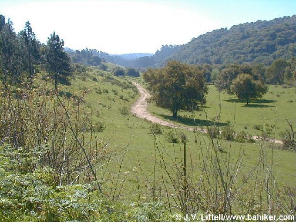
I have to admit I always thought of LA city parks as probably kind of gross and trashy and pretty small anyway. Wrong-o buster. Today I ran around a bunch of trails in Griffith Park, which is where the Hollywood sign is. The problem with the smaller or less isolated LA parks and canyons for us Diegueños is that they're not really worth a special trip, but if you're on your way somewhere, your stuff (often including your computer) is vulnerable in your car, and if you've been broken into before you understand why I'm nervous about that. So if I go to LA, it's for the Natl Forests up there, and I end up looking at places like Griffith Park and hoping I'll eventually get to explore them. And today I did.

Some nice green areas on the east side and some fun little climbs in there too to get up to Mt. Hollywood. Start on the east side by the merry-go-round to find these; Nobody Hikes in LA has the info, although hell if I was going to try to follow all the instructions in that post. (Signage in the park is pretty much absent.) The snow on the San Gabriels was pretty clear once you started getting up on the hill.

Critter sightings: some birds whose calls I didn't recognize, and a woodpecker that was damn determined to mmake progress on a telephone pole. I saw a very young horse getting trained to be comfortable walking along the ridges, plus there was a drum circle down in the east side parking lot and best of all, two brazen coyotes wandering around. (Picture below, sorry about the fuzziness, but then again it's an iPhone.)


Also, a big thank you for dlockeretz at Nobody Hikes in LA for that awesome website. I've been using it before but what I really like are the categories (region, or distance, or quality). Awesome. Much appreciated!

Monday, January 23, 2012

THE DOUBLE WOODSON


Finally, been wanting to double this for a long time, and got there early enough in the afternoon (gate closes at 5:15, and it's dark then anyway). And turns out there was a race there the day before. Who knew? People not as out of it as me I guess.

One strange thing: beginning around 2:15pm, several people heard very low frequency booming sounds. They tended to come in clusters of two or three, separated by several minutes. It didn't sound like thunder; much more even attack and decay. It could have been mining explosions, weapons testing or training on nearby base, a sonic boom, or even an earthquake - I've heard earthquakes before but they didn't sound like this. A Google search on both the web and news for Mt. Woodson, Ramona, and Poway plus boom, thunder, and rumble didn't yield anything.

I've been up to the top several times before on single up-and-downs but refuse to go on Potato Chip Rock myself for religious reasons. Specifically, the the anti-potato-chip religion.

[Added later: apparently there was some kind of marathon in Carlsbad yesterday too. I truly have my finger on the pulse of the San Diego running scene.]

Sunday, January 15, 2012

Safety Tool: Crimemapping.com

This is a lot more useful, and user-friendly, than the ARJIS system. Here it is centered on San Diego, but with this one site you can look at crime in many cities around the country.

Friday, January 13, 2012

Monday, January 9, 2012

Happy New Year!


Point Reyes


Happy New Year to all! To those of you I got to see, it was great. To those of you I haven't seen enough of in the last few months, congratulations on getting away from me, but it won't last. You've been warned.

A fun trip to San Francisco and back involved the usual silliness at such visits of running in Redwood Preserve in Oakland (i.e. French Trail), Muir Woods, the Marin Headlands, Purisima Creek Redwoods and Point Reyes - including, at the latter, more oysters than can really be healthy. I've also never seen that many elk hanging out at the McClure Beach area. I also got out to Mt. Diablo where I rediscovered the Eagle Peak route from Mitchell Canyon that I'd "lost" years ago - always good to recover a memorable route that you couldn't place on a map anymore. (But if that's happening to you it's a sign you've been out on too many trails.) On the way up I took this little detour through Angeles NF to see if there were any trails worth exploring on Angeles Crest Highway/Angeles Forest Highway/Big Tujunga Canyon Road. (Route below - I'm biased against desert-like terrain, so for me the answer is no, although if I'm missing anything feel free to comment.)


View Larger Map


Names will be disguised or left incomplete to protect the guilty: thanks to Greg and Will for letting me crash with them (again!) and to Greg and Rene for inviting us to a fun little New Years party in San Francisco. No thanks to professor MG for letting me stay in his squalid hovel in Santa Barbara. However this last visit reminded me again of the many trails in the Santa Ynez right there above Santa Barbara; Cold Spring Trail and Montecito Peak is one of them.