(Credit to the nice person at Picasaweb who took this)
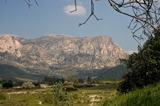
Yesterday San Jacinto was too snowy to get to the summit (or even to Suicide Rock) but it was real purty-like and I'll be back. Once they all melt out, I might spend a long weekend summit-running. San Jacinto, San Gorgonio, and whatever the highest is in San Gabriel Natl Forest. Immediately after I post this I'm off to knock out Iron Mountain.
It's funny how much it bugs me to look out over the mountains and knobs and ridges inland, and not know all their names or how to get to them. But that makes it interesting too. A whole new territory to consume - not like the mountains care for the infinitesimal moment in their lives that we're scrambling along their flanks. But for that nanosecond, we're there, and I can't explain why, but it counts.


No comments:
Post a Comment